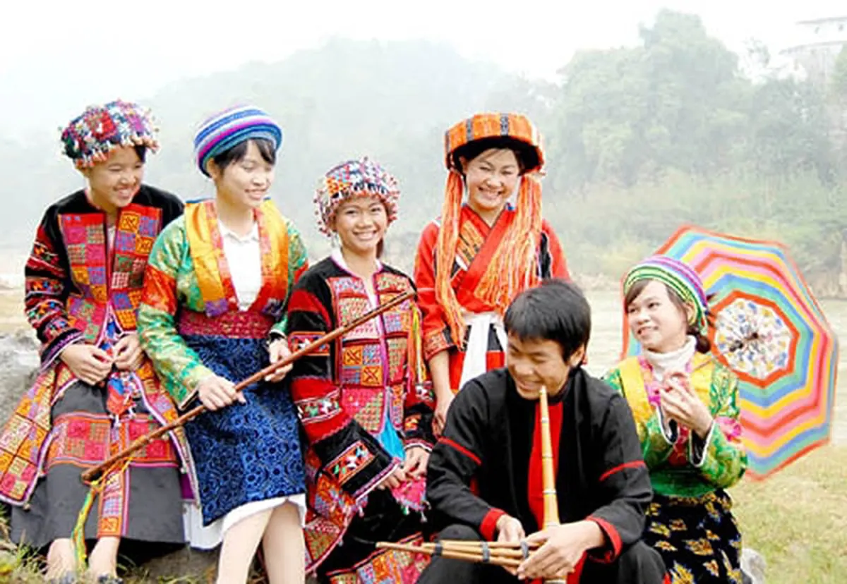
Dong Van Karst Plateau Geopark, located in Vietnam's Ha Giang Province, stands as a prominent natural and cultural destination. This extensive area is characterized by its limestone geology, dramatic mountain views, and the rich, distinct traditions of its many ethnic minority communities. Recognized internationally for its geological importance, the geopark offers visitors insights into ancient landscapes and local ways of life.
The geopark's recognition by UNESCO's Global Geoparks Network in 2010 marked it as Vietnam's inaugural geological park. Situated at an elevation of approximately 1,400 to 1,600 meters above sea level, the Dong Van Rock Plateau features a terrain of narrow valleys interspersed with rocky mountain ranges across northern Vietnam. Limestone constitutes up to 80% of the plateau, preserving fossils of thousands of prehistoric species dating back 400 to 600 million years. Covering an expanse of 2,356 square kilometers, the park extends across four districts: Meo Vac, Dong Van, Yen Minh, and Quan Ba. It is home to over 250,000 residents from 17 distinct ethnic minority groups, each contributing to the area's varied cultural heritage. These communities sustain themselves through cultivating rice in the Nho Que River basins and growing corn on the mountain slopes.
Planning Your Trip to Dong Van Karst Plateau Geopark
For most travelers, Ha Giang City serves as the primary gateway to Dong Van Karst Plateau Geopark and other notable provincial sites, including Quan Ba Twin Mountains, Lung Cu Flagpole, and the areas of Ma Pi Leng Pass, Meo Vac, Yen Minh, and Hoang Su Phi. Ha Giang City is approximately 320 kilometers from Hanoi, a journey that typically takes 6-7 hours by motorbike, local bus, or private car. It is often suggested that travelers spend a night in Ha Giang City before continuing their trip to Dong Van. From Ha Giang City, the Dong Van Rock Plateau is an additional 150 kilometers along National Highway 4C.
The climate at Dong Van Karst Plateau Geopark is temperate, with two distinct seasons: a rainy period from May to October and a dry period from November to April. The average annual temperature ranges from 21 to 23ºC. Temperatures can rise to 27-28ºC in July and August, while in January, they may fall below 0ºC. While the geopark is accessible throughout the year, many visitors find the blooming seasons particularly appealing. Buckwheat, a characteristic flower of Vietnam's northern mountains, flowers from October to November, adorning hillsides, terraced fields, and areas around local dwellings. From January to February, peach and plum blossoms appear, adding hues of crimson and pure white to the moss-covered roofs and creating a visually appealing mountain landscape.
Key Attractions Within the Geopark
The Dong Van Karst Plateau Geopark region offers several points of interest that highlight its historical, cultural, and natural significance.
- The Mansion of Vuong Family: Located in Sa Phin Commune, approximately 14 kilometers from Dong Van District town, this historical site showcases architecture influenced by traditional Chinese design. Constructed from 1919 over nine years by skilled artisans from Yunnan, China, and local H'Mong builders, the mansion's original cost was 150,000 silver coins, an amount equivalent to 150 billion VND today. The two-story structure contains 64 rooms, each adorned with carvings of dragons, phoenixes, and bats, which traditionally symbolize royalty and prosperity.
- Dong Van Ancient Town: This historic settlement, over a century old, features distinctive Chinese architectural elements, including yin and yang symbols on roofs and tiles, and stone floors. The town preserves around 40 ancient houses, some dating back 100 to 300 years. During full-moon nights, the streets are illuminated with red lanterns of various sizes, hosting local food vendors and cultural activities.
- Lung Cu Flag Tower: Situated about 25 kilometers north of Dong Van and a few kilometers from the Chinese border, the Lung Cu Flag Tower was erected in 2010. Modeled after Hanoi's flag tower, it marks Vietnam's northernmost point. The flag itself measures 54 square meters, symbolizing the unity of Vietnam's 54 ethnic groups. From the summit of the tower, visitors can observe extensive views of Dong Van District.
- Sung La Valley: Approximately 20 kilometers from Dong Van District, Sung La Valley is known for its flower gardens, quiet log homes, green corn fields, and buckwheat blooms. Spring is considered the most scenic time, as numerous flowers transform the karst plateau into a colorful setting. The small village of Lung Cam, located in the valley's center, consists of 61 households residing in century-old wall houses. This area was also a filming location for the 2006 movie “Pao’s Story.”
Cultural Experiences and Local Markets
The geopark provides opportunities to engage with the local culture through its markets and community interactions.
- Dong Van Fair Market: Held every Sunday from 5 AM to 10 AM within Dong Van ancient town, this market is a central gathering point. Ethnic groups such as the H'mong, Tay, Nung, and Hoa attend this weekly event not only to trade goods but also to socialize. It offers a local and colorful atmosphere, where visitors may encounter various unique items and customs.
- Khau Vai Love Market – Meo Vac: This distinctive market, located in Khau Vai Commune, Meo Vac District, approximately 170 kilometers from Ha Giang City, takes place once a year on the 26th and 27th of the third lunar month. It serves as a meeting point for former partners from various hill tribes, including Nung, Tay, San Chi, Lo Lo, Dzao, and Giay. Attendees wear traditional costumes and gather to reconnect and share sentiments. Spouses typically arrive together before seeking out their former partners, with these temporary reunions not affecting their current relationships. The market also features traditional games, a night market in Meo Vac, local culinary specialties, and displays of ethnic costumes, jewelry, and musical instruments, which can be purchased as unique purchases and souvenirs.
Navigating the Landscape: Passes and Rivers
The region's geography includes notable natural features that are central to its appeal.
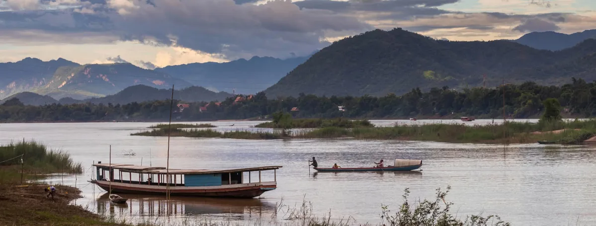
Within the Dong Van Karst Plateau Geopark lies Ma Pi Leng Pass, recognized as one of Vietnam's most scenic and challenging mountain passes. Stretching about 20 kilometers and reaching an elevation of approximately 1500 meters above sea level, its H'mong name, “Ma Pi Leng,” translates to “the bridge of a horse’s nose,” describing its shape. Traversing Ma Pi Leng Pass offers expansive views of limestone formations, green forests, and the Nho Que River, which flows below like a turquoise ribbon. Boat excursions or kayaking on the Nho Que River are available for those wishing to experience the surrounding environment from a different perspective.
Overview of Dong Van Karst Plateau Geopark Attractions
| Attraction Name | Location | Key Features / Details |
|---|---|---|
| Vuong Family Mansion | Sa Phin Commune, ~14km from Dong Van town | Built 1919, Chinese architectural influence, 64 rooms, intricate carvings, historical significance. |
| Dong Van Ancient Town | Dong Van District | Over 100 years old, Chinese architecture, 40 ancient houses (100-300 years old), red lanterns on full-moon nights. |
| Dong Van Fair Market | Dong Van Ancient Town | Held every Sunday, 5 AM - 10 AM. Trading and socialization for H'mong, Tay, Nung, Hoa ethnic groups. |
| Lung Cu Flag Tower | ~25km north of Dong Van, near Chinese border | Erected 2010, marks northernmost point of Vietnam, 54 sq meter flag representing 54 ethnic groups. |
| Sung La Valley | ~20km from Dong Van District | Flower gardens, quiet log homes, corn fields, buckwheat. Lung Cam village (61 households, 100-year-old wall houses). Filming location for “Pao’s Story.” |
| Ma Pi Leng Pass & Nho Que River | Within Dong Van Karst Plateau Geopark | ~20km long, ~1500m altitude. Scenic views of limestone mountains, forests, Nho Que River. Boat trips/kayaking available. |
| Khau Vai Love Market | Khau Vai Commune, Meo Vac District, ~170km from Ha Giang City | Annual market (26th & 27th of 3rd lunar month) for ex-lovers to meet. Features traditional games, local specialties, ethnic crafts. |
Frequently Asked Questions
How can one travel to Dong Van Karst Plateau Geopark?
Most visitors begin their journey in Ha Giang City, which is about 320 kilometers from Hanoi. Transportation options from Hanoi to Ha Giang City include motorbikes, local buses, or private cars, with the trip lasting approximately 6-7 hours. From Ha Giang City, the geopark is an additional 150 kilometers via National Highway 4C.
What is the most favorable time of year to visit Dong Van Karst Plateau Geopark?
The geopark experiences a temperate climate, with a dry season from November to April and a rainy season from May to October. While visits are possible throughout the year, many prefer the blooming seasons. Buckwheat flowers are prominent from October to November, and peach and plum blossoms appear from January to February, adding considerable visual appeal to the landscape.
What makes Dong Van Karst Plateau Geopark geologically significant?
Dong Van Karst Plateau Geopark is notable for its extensive limestone formations, which cover about 80% of its area. These geological structures contain fossils of prehistoric species dating back 400 to 600 million years, providing valuable insights into Earth's ancient history. It was recognized by UNESCO in 2010 as Vietnam's first geological park.
Are there cultural experiences available for visitors in the geopark?
Yes, the geopark is home to 17 different ethnic minority groups, offering rich cultural experiences. Visitors can explore Dong Van Ancient Town with its traditional architecture, attend the weekly Dong Van Fair Market for local goods and social interaction, or witness the unique annual Khau Vai Love Market, a gathering for former partners.
What activities are suggested for experiencing the Nho Que River?
The Nho Que River, flowing at the base of Ma Pi Leng Pass, is known for its turquoise waters. Visitors can take boat trips or go kayaking on the river to enjoy the surrounding limestone mountains and green forests from a different perspective, offering a tranquil way to appreciate the natural environment.