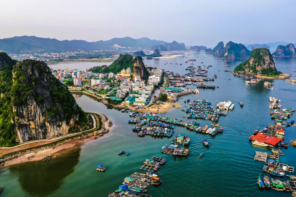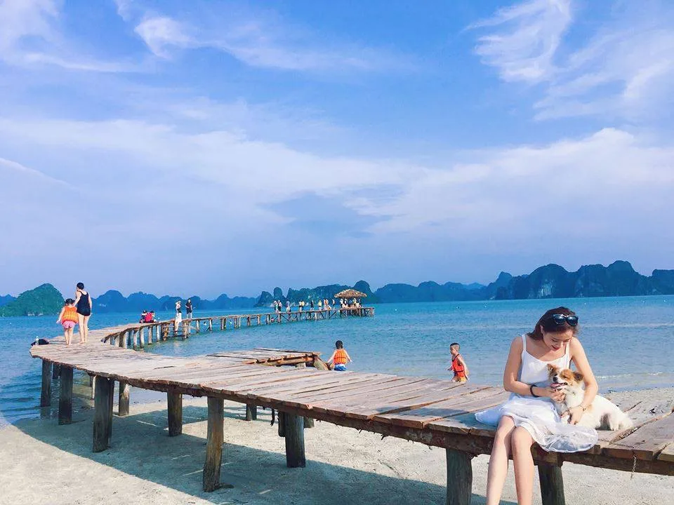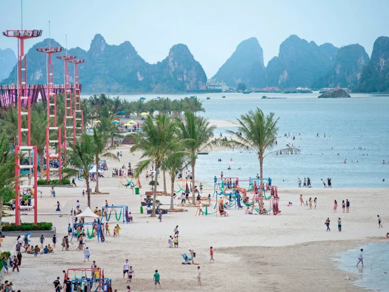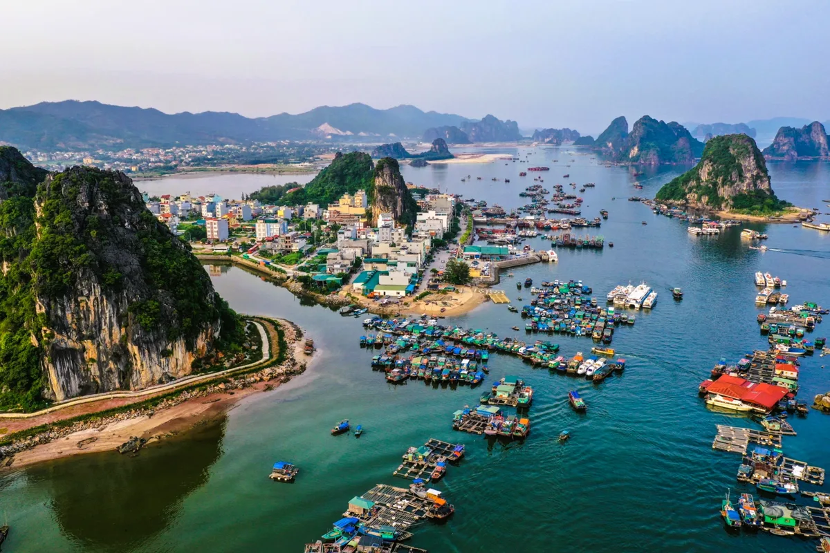

Binh Thuan province, situated along Vietnam's South Central Coast, presents a compelling destination for those seeking both seaside relaxation and a deeper understanding of regional history. This area is characterized by its extensive coastline, significant historical sites, and a climate that favors outdoor pursuits. Visitors can explore popular resort areas, discover less developed beaches, and encounter remnants of the ancient Champa Kingdom.
Understanding the geography, climate, and key attractions of Binh Thuan is crucial for planning an effective itinerary. The provincial capital, Phan Thiet, serves as a central hub, offering access to various points of interest and transportation links. This guide aims to equip travelers with the necessary details for an informed and enjoyable visit to this Vietnamese province.
Geographic and Climatic Profile of Binh Thuan
Binh Thuan province occupies a strategic position in Vietnam's south-central region. It shares its northern boundary with Lam Dong province, its northeastern edge with Ninh Thuan, its western side with Dong Nai, and its southeastern border with Ba Ria – Vung Tau province. To its east lies the East Sea, contributing to its significant coastal identity. The province spans an area of 7,812.8 square kilometers and, as of 2019, supported a population of 1,230,808 residents. Phan Thiet stands as the provincial capital, with other administrative divisions including La Gi Town, Tuy Phong, Bac Binh, Ham Thuan Bac, Ham Thuan Nam, Ham Tan, Duc Linh, Tanh Linh, and Phu Quy districts.
The province's geography is diverse, featuring a 192-kilometer coastline in the southwest where many communities engage in fishing. Inland, the terrain rises, with the highest elevations found in the mountainous northwest, particularly in Tanh Linh district. Forested areas covered approximately 50% of the land in the northwest and northeast as of 2007 demographics.
Binh Thuan experiences a tropical monsoon climate, marked by two distinct periods: a dry season and a rainy season. The dry period typically extends from December through April, while the rainy season occurs from May to November. The region is generally sunny and windy throughout the year, notably lacking a winter season. The extended dry season, lasting from November to April of the following year, often results in arid conditions. Rainfall is concentrated during August, September, and October.
Historical Footprints in Binh Thuan
The history of Binh Thuan is deeply intertwined with both Vietnamese and Cham cultures. Historically, this territory was associated with the Champa Kingdom. In 1306, Princess Huyen Chan of Vietnam resided here after her marriage to Jaya Sinhavarman III, the Champa king. Following the decline of the Vijaya kingdom in 1471, Binh Thuan became part of Vietnamese dominion.
Later, during the Indochina War, the region served as a significant base for revolutionary figures such as Phan Chu Trinh and Tran Quy Cap, who led movements against French colonial rule. These historical layers contribute to the unique cultural identity and heritage that visitors can still observe and learn about in the province today.
Prominent Destinations and Activities
Binh Thuan's nearly 200-kilometer coastline offers several key destinations, each with its own character, making the province a popular choice for those traveling from Ho Chi Minh City. These locations provide a range of experiences, from well-developed resort areas to more natural, evolving sites.
- Mui Ne: This area, part of Phan Thiet, is internationally recognized for its extensive sand dunes and a long stretch of coastline lined with numerous resorts and hotels. It has become a significant center for tourism investment, attracting visitors seeking upscale accommodations and beachside leisure.
- La Gi Town: Offering a different atmosphere, La Gi is gaining recognition among both local and international travelers. It features beaches that are still undergoing development, providing a more rustic and less commercialized experience. The area is also home to the revered Thay Thim temple, a site of cultural and spiritual importance.
- Ta Cu Mountain: Located a short distance from Phan Thiet, Ta Cu mountain provides opportunities for hiking and spiritual exploration. At its summit, a pagoda houses a large statue of a recessed Buddha and his disciples. From this elevated position, visitors can enjoy expansive views of the surrounding landscape.
When considering medical services in the region, travelers should be aware of the available facilities. For detailed information on healthcare options in the area, consult a guide to medical services in Mui Ne and Phan Thiet.
Traveling to Binh Thuan Province
Accessing Binh Thuan province is straightforward from major Vietnamese cities, with several transportation options available. The primary gateway for many travelers is Phan Thiet, the provincial capital.
- From Ho Chi Minh City: A road journey from Ho Chi Minh City to Phan Thiet covers approximately 200 kilometers and typically takes between 4 to 6 hours by car or bus.
- From Nha Trang: Binh Thuan is situated about 250 kilometers from Nha Trang. This route is also accessible by train. Express train services include stops at both Muong Man station and Phan Thiet station, offering a scenic alternative to road travel. For those interested in extended rail journeys, exploring overnight rail journeys in Vietnam can provide additional context on train travel within the country.
Planning your transportation in advance, especially during peak travel seasons, is advisable to ensure availability and a smooth journey.
Comparison of Key Coastal Areas
Binh Thuan offers varied coastal experiences. Here's a brief comparison of two prominent areas:
| Feature | Mui Ne | La Gi Town |
|---|---|---|
| Development Level | Highly developed, numerous luxury resorts | Developing, more rustic and natural beaches |
| Primary Attractions | Giant sand dunes, extensive resort coastline | Wilder beaches, Thay Thim temple |
| Atmosphere | Energetic, tourist-focused, diverse dining | Calmer, local feel, emerging tourism |
| Suitability | Travelers seeking comfort, amenities, and established tourist infrastructure | Travelers preferring a quieter experience, local immersion, and natural settings |
Frequently Asked Questions
What is the best time of year to visit Binh Thuan?
The dry season, which runs from December to April, is generally considered the most favorable time to visit Binh Thuan. During these months, the weather is typically sunny and less prone to rain, providing ideal conditions for beach activities and exploring outdoor attractions. However, visitors should be prepared for arid conditions.
Are there cultural sites to visit in Binh Thuan?
Yes, Binh Thuan holds significant cultural and historical importance. The province is home to remnants of the Champa Kingdom, reflecting a rich indigenous heritage. The Thay Thim temple in La Gi is a notable spiritual site, and the history of figures like Phan Chu Trinh and Tran Quy Cap also adds to the region's cultural narrative. These sites offer insights into the area's past and local traditions.
What types of activities are popular in Mui Ne?
Mui Ne is well-known for its unique natural landscape, particularly the vast sand dunes, which are popular for activities like sandboarding and quad biking. The long coastline is also ideal for various water sports, including kitesurfing and windsurfing, due to favorable wind conditions. Additionally, the area features numerous resorts offering relaxation and leisure facilities.
How far is Binh Thuan from Ho Chi Minh City?
Binh Thuan province, specifically its capital Phan Thiet, is approximately 200 kilometers away from Ho Chi Minh City. The journey by road typically takes between 4 to 6 hours, depending on traffic and the specific mode of transport chosen.