Ca Mau province, located at the southernmost extremity of Vietnam, presents a unique destination characterized by its extensive coastal landscapes and intricate wetland environments. This region is recognized for its significant ecological zones, including vast mangrove and Melaleuca forests, which support a rich array of plant and animal life. Visitors to Ca Mau can explore these natural settings, learn about the area's distinct history, and experience a part of Vietnam deeply connected to its natural heritage.
Understanding Ca Mau Province: Geography and Demographics
Ca Mau is a coastal province in southern Vietnam, distinguished by its position as the nation's southernmost point. Only its northern boundary does not meet the sea, with its other three sides bordered by ocean waters. This geographic characteristic contributes to its identity as a significant and meaningful location for both domestic and international travelers, often referred to as the "Extreme South Pole" of the country. The province covers an area of 5,294.87 square kilometers and, as of 2019, had a population of 1,194,476 residents. Ca Mau City serves as the provincial capital, with the province further divided into districts including Dam Doi, Ngoc Hien, Tran Van Thoi, Cai Nuoc, U Minh, Thoi Binh, Nam Can, and Phu Tan.
The terrain of Ca Mau is predominantly wetland, characterized by low-lying land and regular flooding, which fosters the natural growth of various plant species. The land's elevation is generally low, making it susceptible to the natural ebb and flow of water, a defining feature of its landscape. The soil composition includes five primary groups: alum soil, peat soil, alluvial soil, saline soil, and canal land, each contributing to the unique agricultural and ecological conditions of the region. This diverse soil structure supports specific ecological types, most notably the extensive mangrove forests. These coastal mangroves stretch for 254 kilometers along the shoreline, forming a crucial buffer zone and a rich habitat. Inland, particularly within the districts of U Minh, Tran Van Thoi, and Thoi Binh, Melaleuca forests cover an area of 35,000 hectares, presenting a different yet equally important forest ecosystem. The mangrove areas in Ca Mau constitute a substantial portion, accounting for 77% of the total mangrove forests found across the Mekong Delta, underscoring their national ecological importance.
Historical Development of Ca Mau
The historical narrative of Ca Mau describes it as a relatively recently settled territory, approximately 300 years old. During the era of King Tu Duc, the land was largely undeveloped, covered by dense forests of mangroves, parrots, and cajuput trees. Settlement was sparse due to challenges such as a scarcity of freshwater and the prevalence of alum-rich fields, which made agriculture difficult.
The modern administrative shape of Ca Mau began to emerge under French colonial administration, as territories from adjacent areas were consolidated. Over time, particularly by the period of the provisional government, Ca Mau's current land divisions and townships became established, evolving into the province recognized today. This history of gradual development from a challenging natural environment highlights the resilience and adaptation of its inhabitants.
Climate Patterns and Optimal Visiting Times
Ca Mau experiences a tropical monsoon climate, marked by two distinct seasons: a rainy period and a dry period. The rainy season typically extends from May through November, bringing significant precipitation. Conversely, the dry season spans from December to April of the following year, characterized by less rainfall.
The average annual temperature in Ca Mau is approximately 27°C, maintaining a consistently warm environment throughout the year. The region receives an average annual rainfall of about 2,400 mm. This subtropical monsoon climate, with its high average temperatures, is a common feature across all provinces within the Mekong Delta. For visitors, the dry season generally offers more comfortable conditions for exploration, with less interruption from rain and potentially easier navigation of outdoor attractions.
Ecotourism and Natural Attractions in Ca Mau
Ca Mau's rich and varied ecosystems provide a strong foundation for ecotourism development, drawing attention to its preserved natural habitats. The extensive mangrove forests serve as critical environments for numerous protected plant and animal species, offering unique opportunities for ecological observation and appreciation. These forests are not only vital for biodiversity but also play a significant role in the region's ecological balance.
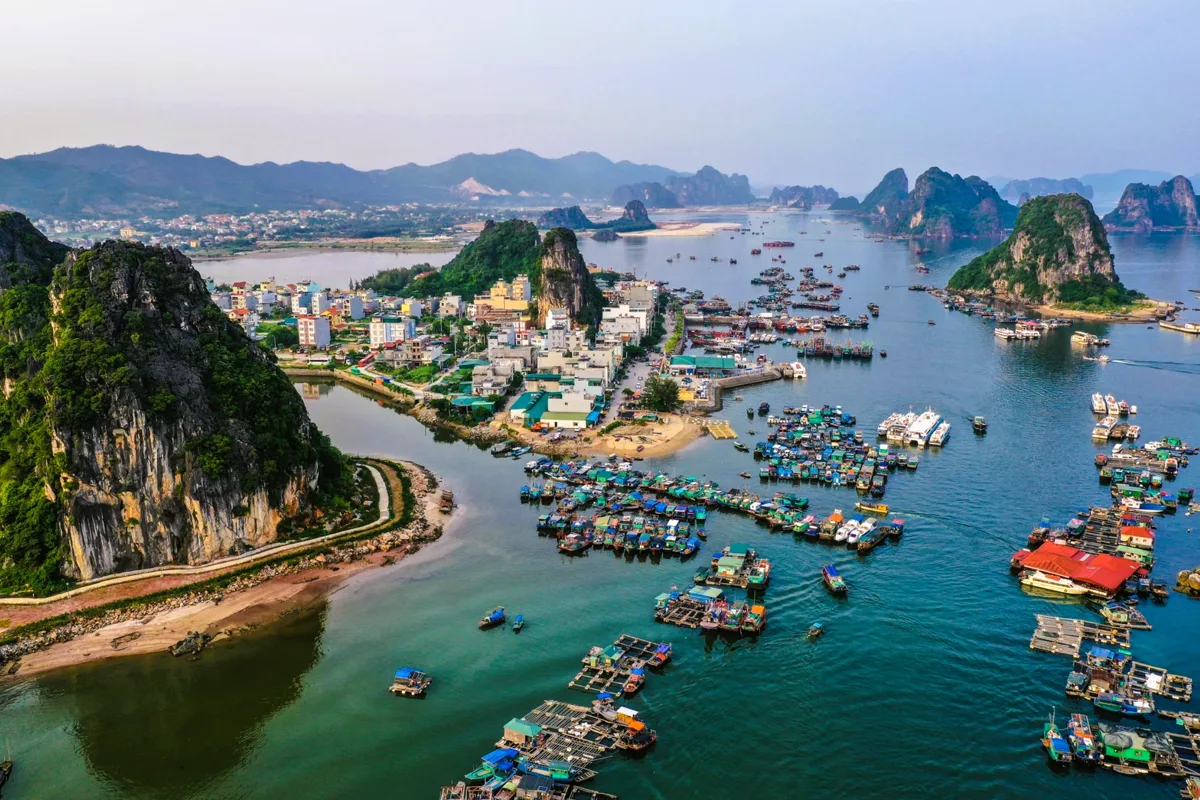
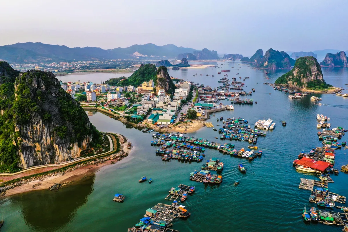
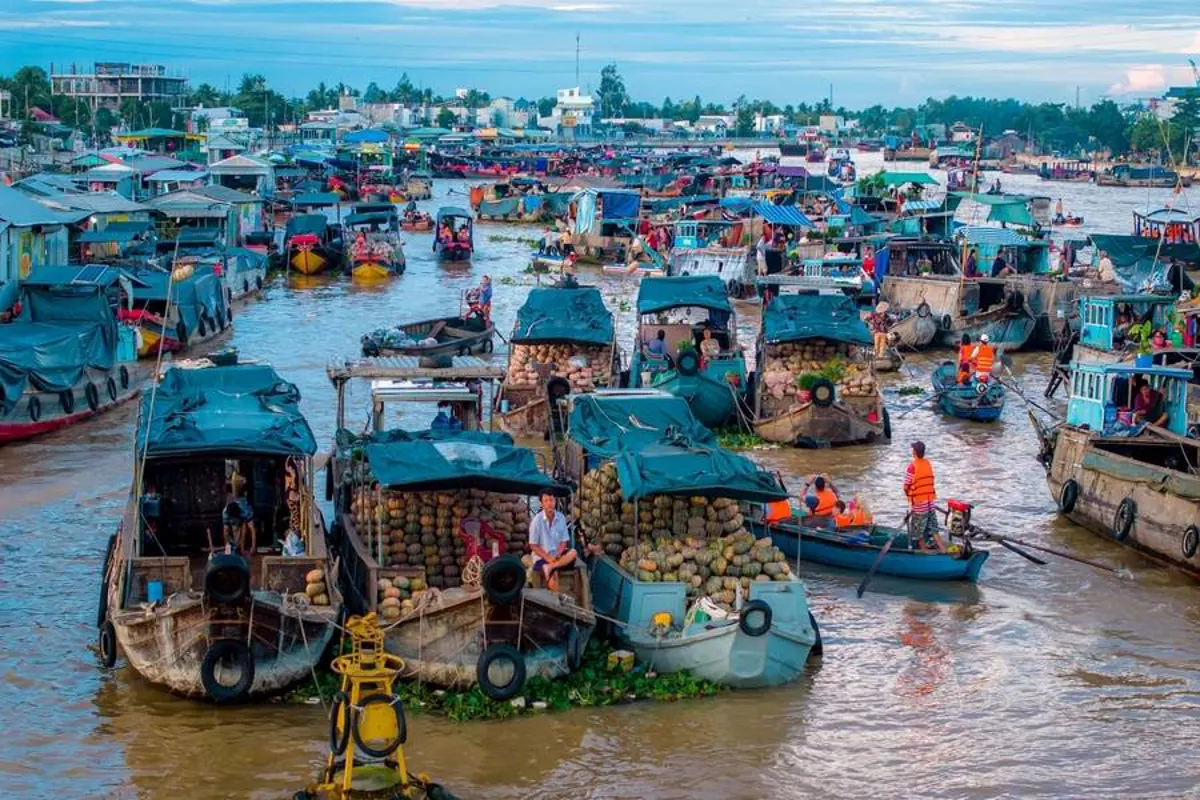
Among the notable sites for visitors are Dao Hon Khoai, an island known for its natural beauty, Khu Vuon Chim (Bird Garden Area), which provides a sanctuary for various bird species, and the broader mangrove forest regions, all of which are recognized for their ecological significance and offer pathways for exploration. The province is also known for its extensive aquaculture, particularly its large-scale shrimp farms and fishing communities, such as those found in Dam Thi Tuong. This area provides insight into the local economy and traditional livelihoods centered around the aquatic environment. The intricate network of rivers and waterways throughout Ca Mau also supports traditional activities like the floating market on Ganh Hao, where local goods, often agricultural produce and fresh seafood, are traded directly from boats. These locations collectively showcase the province's natural heritage and the traditional ways of life connected to its aquatic environment, offering visitors a genuine experience of southern Vietnamese culture and nature.
Navigating to Ca Mau Province
Accessing Ca Mau province is possible through both road and waterway transportation networks, providing travelers with flexible options depending on their starting point and preferences. For road travelers, National Highways 1A and 63 provide direct routes into the province, connecting it efficiently to other parts of Vietnam. These highways facilitate travel by bus, private car, or motorbike, making Ca Mau accessible from major urban centers.
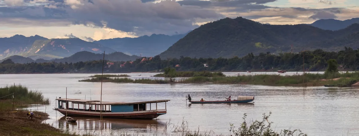
Alternatively, water routes offer a different perspective on reaching Ca Mau, allowing visitors to experience the region's intricate river systems. Services are available from major cities such as Ho Chi Minh City and Rach Gia, with various boat and ferry options. This mode of transport can be particularly appealing for those seeking a more scenic journey through the Mekong Delta. When organizing a trip that involves multiple Vietnamese cities, it can be helpful to plan for various practicalities beyond just transport. For instance, understanding banking services in Ho Chi Minh City could be part of preparing for your wider itinerary, especially if you plan to spend time there before heading south. While Ca Mau itself offers unique local experiences, visitors often look for distinctive purchases and souvenirs from their broader travels in Vietnam to remember their trip, which might be found in various locations across the country.
Key Facts About Ca Mau Province
| Feature | Detail |
|---|---|
| Location | Southern Vietnam, coastal |
| Age | Approximately 300 years |
| Extreme Point | Southernmost tip of Vietnam |
| Area | 5,294.87 km² |
| Population (2019) | 1,194,476 people |
| Provincial Capital | Ca Mau City |
| Borders | Kien Giang, Bac Lieu, Gulf of Thailand |
| Coastline | Three sides facing the ocean |
| Wetland Type | Low-lying land, regular flooding, diverse soil groups |
| Dominant Ecosystems | Mangrove forests (77% of Mekong Delta mangroves), Melaleuca forests |
Frequently Asked Questions
When is the optimal time to visit Ca Mau?
The most favorable period to visit Ca Mau is during its dry season, which runs from December to April. During these months, rainfall is minimal, making outdoor activities and exploration more comfortable and less prone to weather-related interruptions.
What unique natural environments can be found in Ca Mau?
Ca Mau is particularly known for its extensive wetland ecosystems, including vast mangrove forests that stretch along its coastline for 254 kilometers. Additionally, inland Melaleuca forests, covering 35,000 hectares in districts like U Minh, Tran Van Thoi, and Thoi Binh, represent another significant natural habitat. These areas are crucial for diverse plant and animal life.
How can travelers reach Ca Mau province?
Travelers have two primary options for reaching Ca Mau: by road or by waterway. Road access is facilitated by National Highways 1A and 63. For those preferring water travel, services are available from cities such as Ho Chi Minh City and Rach Gia, offering a journey through the region's river systems.
What are some of the main attractions for ecotourism in Ca Mau?
Ca Mau's ecotourism focuses on its natural preserves. Key attractions include Dao Hon Khoai, Khu Vuon Chim (Bird Garden Area), and the expansive mangrove forests, which are habitats for many protected species. The province also features large shrimp farms and fishing villages, like those in Dam Thi Tuong, and a floating market on Ganh Hao, offering insights into local life and the aquatic environment.