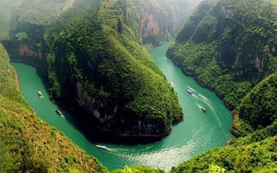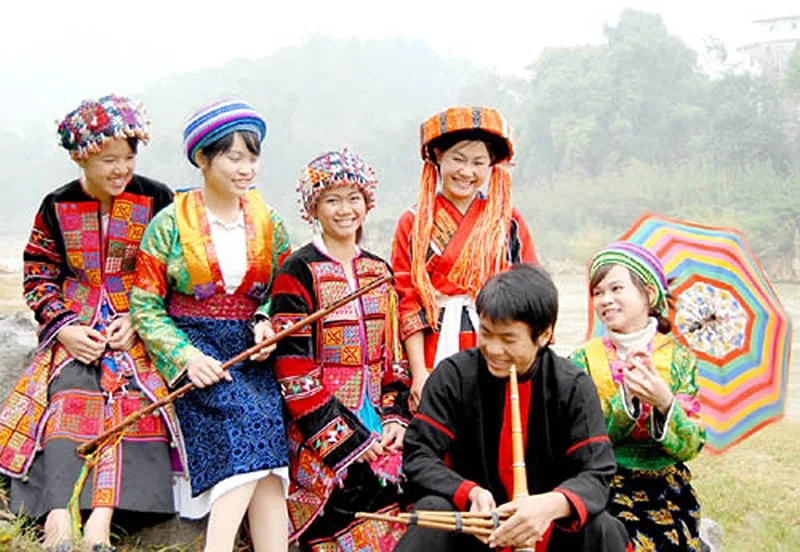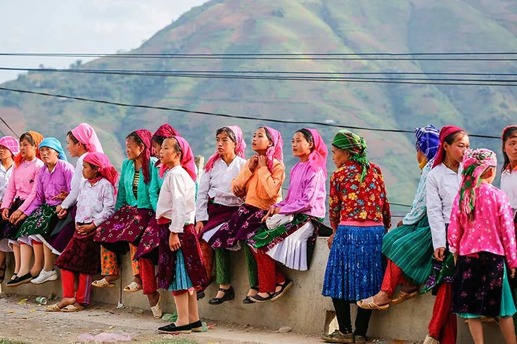
Ha Giang, situated in the northernmost part of Vietnam, presents a distinctive travel experience characterized by its formidable mountainous terrain and the diverse cultures of its many ethnic communities. Visitors to this remote province can expect to encounter ancient geological formations, observe traditional market activities, and navigate renowned mountain routes. The region is home to groups such as the H'Mong, Tay, Dao, and Lo Lo, contributing to a rich cultural environment alongside its natural beauty.
Exploring Ha Giang's Dramatic Landscapes and Roadways
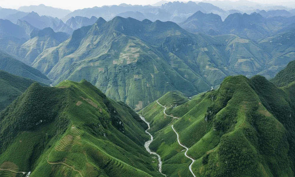
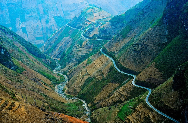
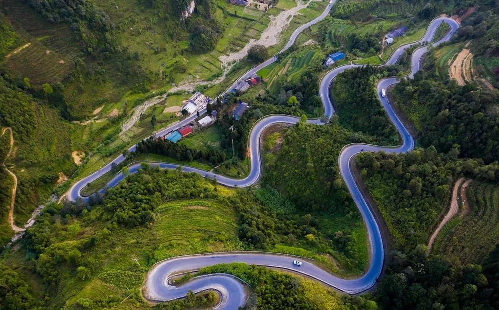
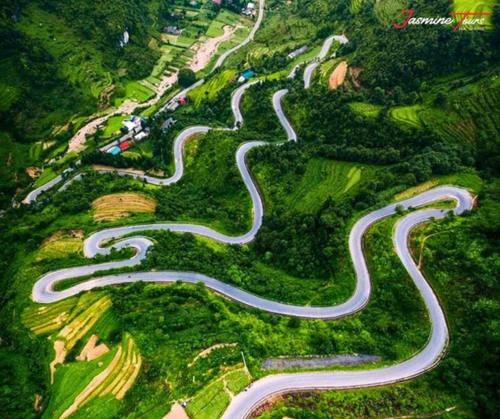
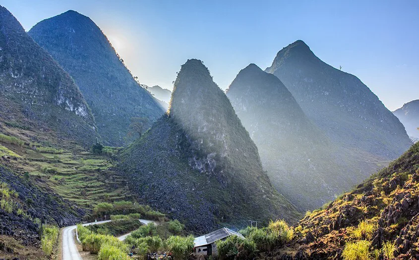
The province of Ha Giang is defined by its impressive topography, featuring winding roads that traverse high peaks and deep valleys. These routes are not merely transportation arteries but integral parts of the travel experience, offering expansive views and connecting visitors to remote communities.
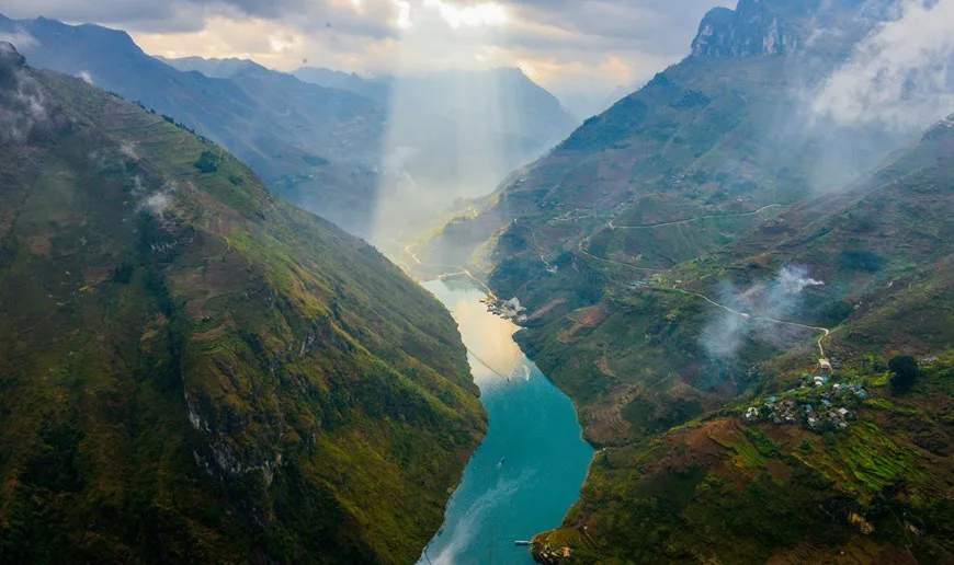
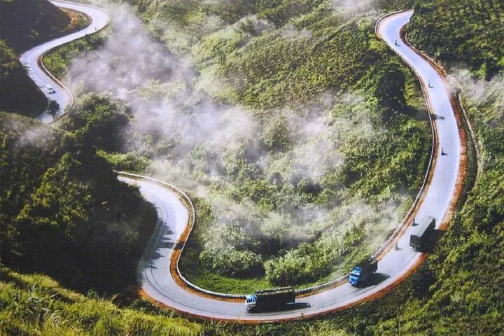
One of the most significant infrastructure achievements in the region is the Happiness Road (Con Duong Hanh Phuc), a roughly 200-kilometer route linking Ha Giang City with Dong Van Town and continuing to Meo Vac Town. Constructed between 1959 and 1965, this road was a monumental effort, built by volunteers and workers from 16 different ethnic groups, some of whom made ultimate sacrifices during its creation. Its name reflects the aspirations for a better future held by the local population. A notable segment of this road is the 20-kilometer Ma Pi Leng Pass, recognized as one of the four most significant mountain passes in northern Vietnam.
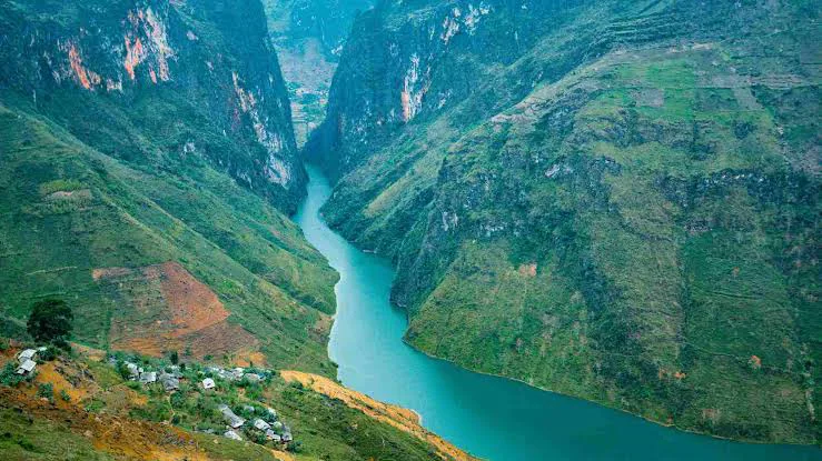
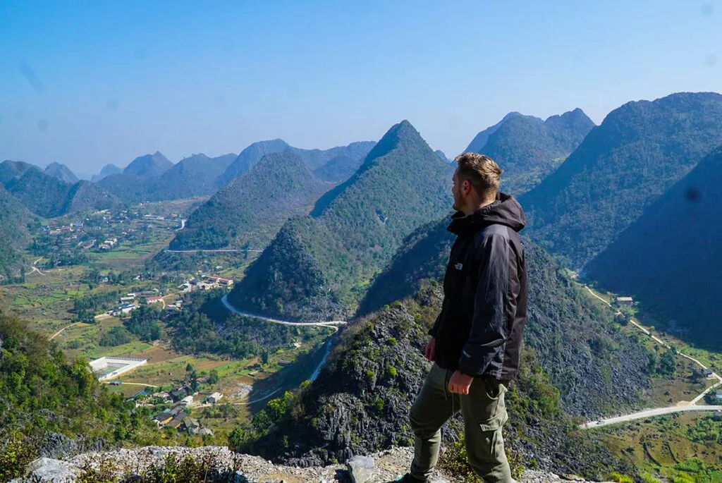
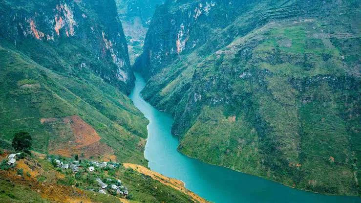
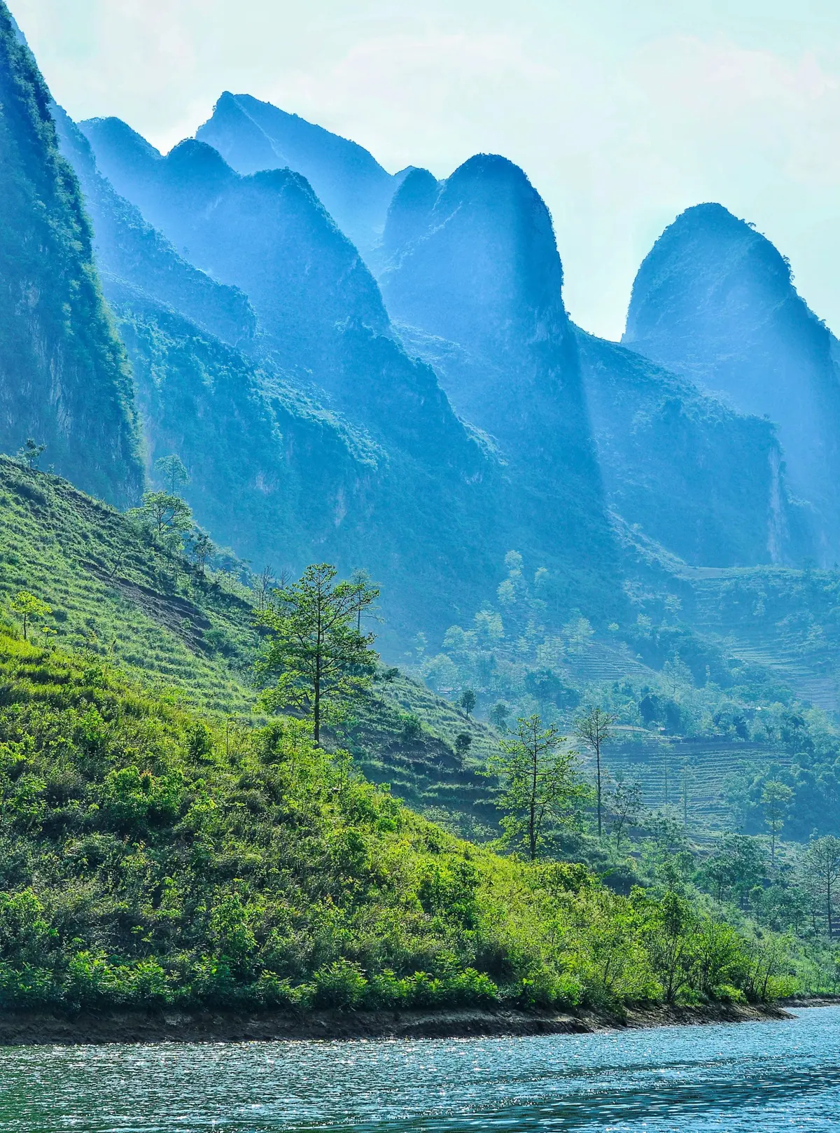
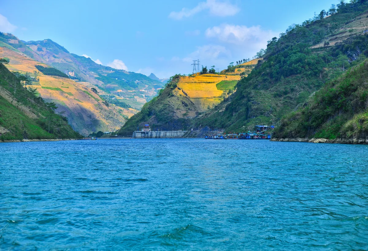
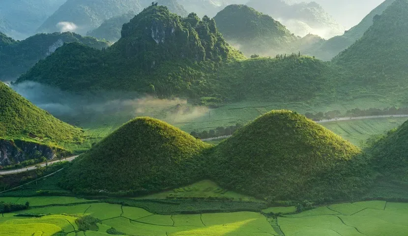
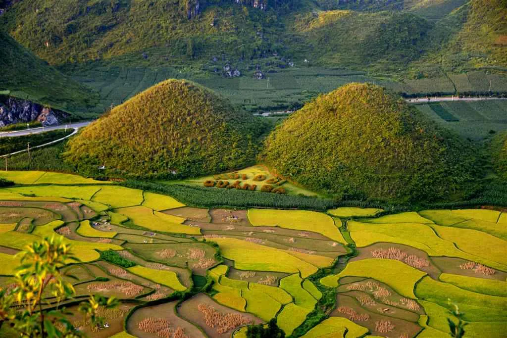
From the summit of Ma Pi Leng Pass, travelers are afforded expansive views of limestone formations, verdant forests, and the tranquil Nho Que River, which maintains a consistent turquoise hue throughout the year. Opportunities exist for boat excursions or kayaking on the river, allowing for a different perspective of the surrounding environment. Further along the journey, the Quan Ba Heaven Gate stands at an elevation of 1500 meters above sea level, serving as the initial entry point to the Dong Van plateau and providing broad vistas of the valley below. Historically, a substantial 150-centimeter-thick wooden door was erected here in 1939, once marking a boundary to what was known as the 'autonomous region of the Meo people.' Nearby, the Quan Ba Twin Mountains (Nui Doi Quan Ba), located approximately 40 kilometers from Ha Giang City along National Highway 4C, present a striking natural formation amidst rocky landscapes and terraced fields, often associated with local folklore.
The Dong Van Karst Plateau Geopark: A Geological and Cultural Hub
The Dong Van Karst Plateau Geopark is a globally recognized area of geological significance, offering a unique blend of natural formations and diverse cultural heritage. Its designation as a UNESCO Global Geopark in 2010 highlights its importance.
Spanning an area of 2356.8 square kilometers, the geopark encompasses significant portions of four districts: Quan Ba, Yen Minh, Dong Van, and Me Vac. It features elevations ranging from 1400 to 1600 meters above sea level, with limestone constituting approximately 60% of its surface. This geological composition has resulted in a landscape characterized by towering mountains and profound canyons, including Mieu Vac Mount, the highest peak at 1971 meters, and Tu San, one of the deepest canyons, reaching depths of 700-800 meters. The geopark is also home to 17 distinct ethnic groups, such as the Hmong, Dao, Lo Lo, Tay, and Nung, whose cultural practices and traditions are woven into the fabric of the land. Intriguing ancient scripts found on various rocks within the geopark continue to pose an unsolved mystery regarding their meaning.
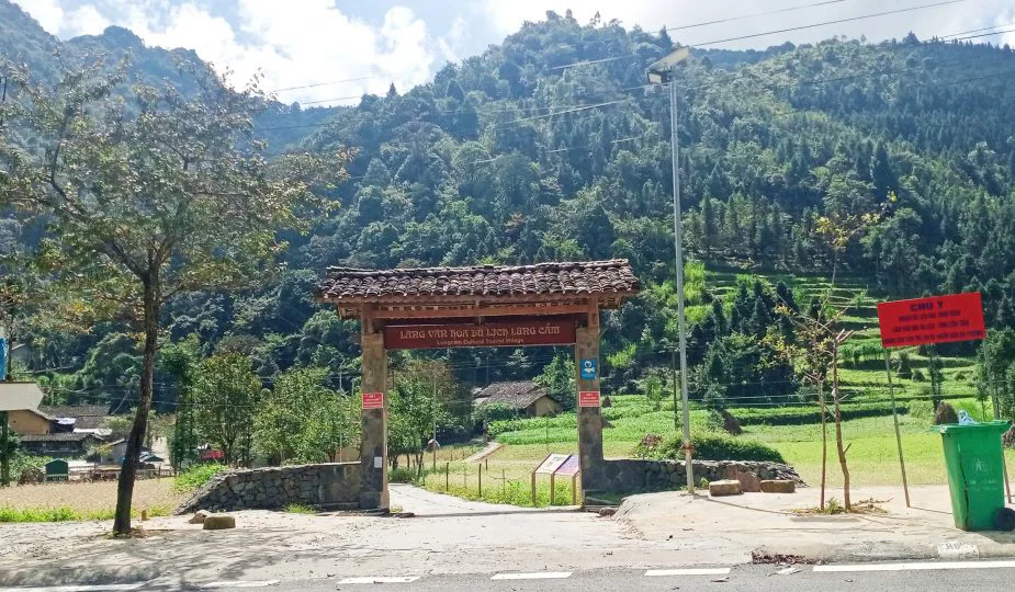
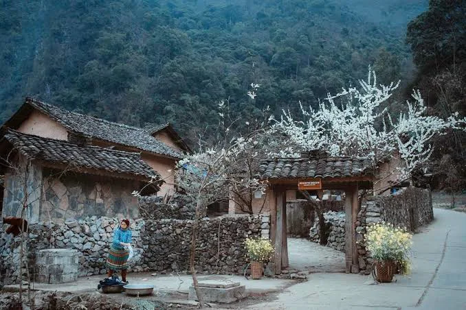
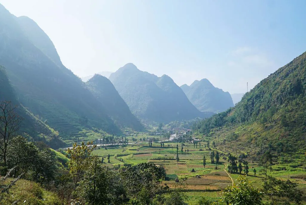
Within the geopark lies Sung La Valley, situated about 20 kilometers from Dong Van District. This area is often regarded as one of the most scenic upland communes within the plateau. Views from the Pho Bang junction, on the route from Yen Minh to Dong Van, reveal a tranquil natural setting. The valley transforms with the seasons: spring brings an array of blooming flowers, while winter sees the landscape adorned with the white-yellow of buckwheat flowers and the yellow of mustard flowers, particularly from late October to November. At the heart of Sung La Valley is Lung Cam Village, a community of over 60 households from the Lo Lo, Hmong, and Han ethnic groups. This village actively preserves its human heritage and cultural assets, including folk songs, traditional dances, and musical instruments. A notable point of interest here is the 'Pao’s House' studio, an example of traditional plateau architecture.
Historical Sites and Northern Frontier Markers
Ha Giang's history is etched into its structures and geographical markers, reflecting past leadership and national significance.
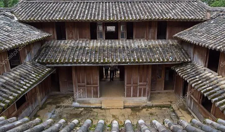
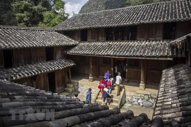
The Mansion of Vuong Family, located in Sa Phin village, stands as a testament to the influence of Vuong Chinh Duc, a prominent H'Mong leader from a century ago. Known for his wealth and his relationship with French colonial authorities, Vuong Chinh Duc established a considerable presence in the highlands. The two-story mansion is an architectural blend of traditional Chinese design and H'Mong aesthetics, featuring 64 rooms adorned with intricate carvings of dragons and phoenixes, symbols of royalty and prosperity. Its construction spanned a decade and involved a substantial expenditure of 150,000 silver coins, an amount equivalent to approximately 150 billion VND in contemporary value. This mansion remains a source of pride for the H'Mong people, echoing stories of a bygone era.
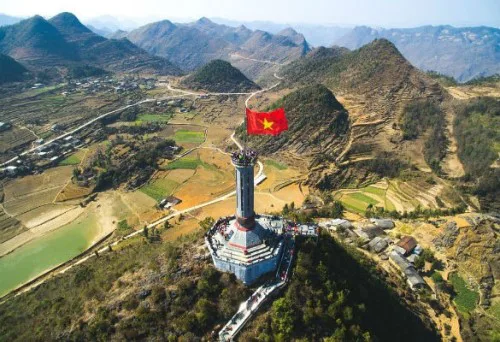
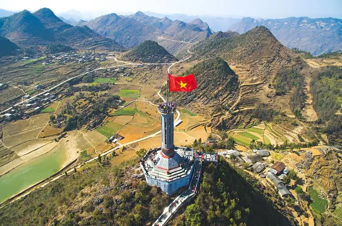
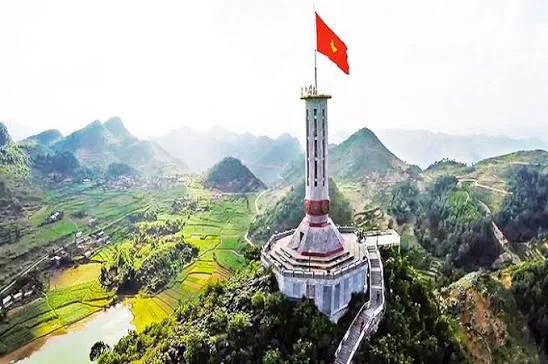
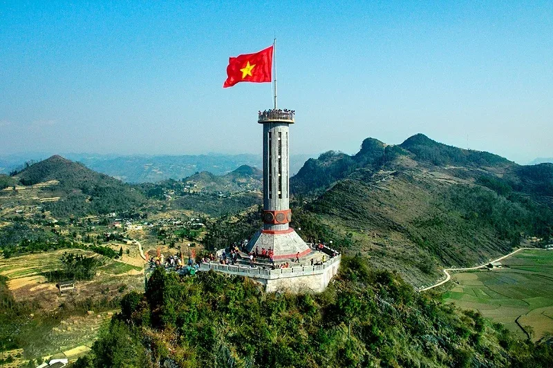
Further north, the Lung Cu Flag Tower serves as a significant national monument in Lung Cu Commune, Dong Van District. Perched atop Lung Cu Peak, at an elevation exceeding 1400 meters, the tower stands 30 meters tall and is crowned with a large Vietnamese flag measuring 54 square meters, symbolizing the unity of Vietnam's 54 ethnic groups. This location provides extensive panoramic views of Dong Van and Ha Giang, including the winding Happiness Road below. While the tower is a symbolic marker of the northernmost point of Vietnam, the actual farthest north point along the China-Vietnam border is situated approximately 3 kilometers away, beneath the Nho Que River in Xeo Lung village. Milestone 428 is another important border marker, located about 500 meters from the Nho Que River, which itself forms a natural boundary between Vietnam and China. The symbolic North Pole Milestone in Xeo Lung village represents the closest accessible point to the country's northernmost extreme. An observatory, designed to resemble the One Pillar Pagoda, offers views of the border area where the Nho Que River enters Vietnam.
Experiencing Local Life: Markets and Cultural Gatherings
The markets and cultural events in Ha Giang offer direct insights into the daily lives and traditions of the local ethnic communities.
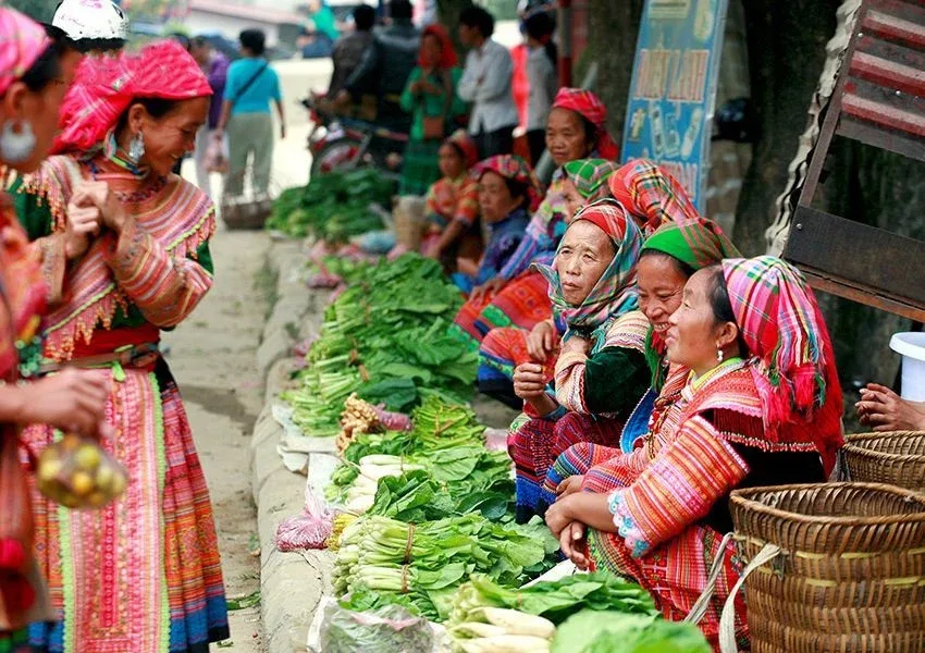
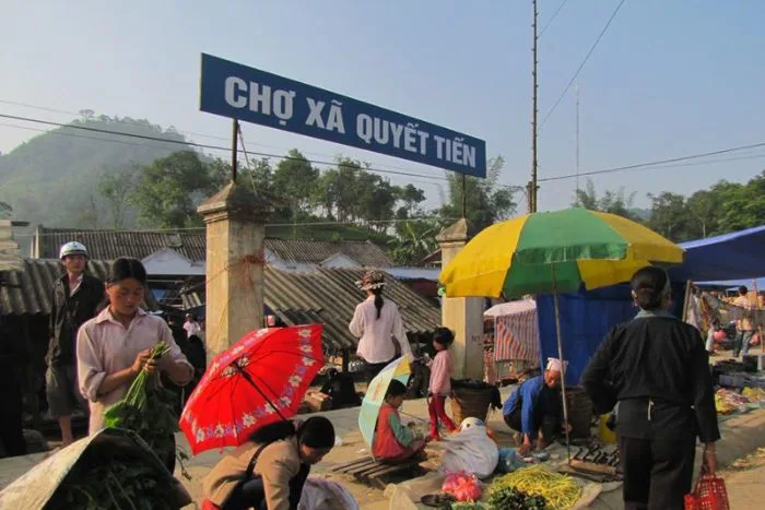
The Quyet Tien Market in Quan Ba District is a traditional marketplace held every Saturday morning at the base of Heaven Gate. This rustic gathering serves residents from the surrounding area, who come to trade a variety of goods, including fresh produce, livestock, and handmade crafts. Visitors can also sample regional specialties such as thang co, five-color sticky rice, and corn wine. Located about an hour from Ha Giang City, this market provides an authentic introduction to highland commerce.
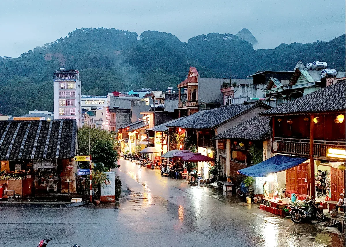
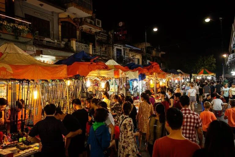
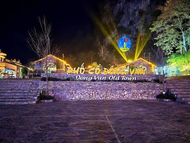
The Dong Van Old Quarter, established in the early 20th century, retains its original architectural character, featuring many houses over a century old. Initially settled by H'Mong, Tay, and Chinese families, the quarter expanded to include other local residents. Its architecture predominantly reflects Chinese influences, with two-story houses, yin-yang roofs, and red lanterns lining two ancient streets leading towards the mountains. To preserve and promote its cultural heritage, the 'Night in Old Quarter' event is held on the 14th, 15th, and 16th days of each lunar month. During these evenings, the old street is illuminated with lanterns, and various cultural activities, including cuisine festivals, artistic performances, and displays of traditional handicrafts, take place.
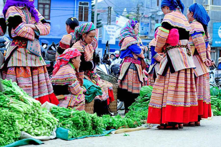
The Dong Van Market, an integral part of the Old Quarter complex, operates exclusively on Sunday mornings, typically from 5:00 am to 10:00 am. On market days, the usually quiet old town transforms into a lively festival of colors and sounds. Members of ethnic groups such as the Dao, H'Mong, Tay, Nung, Giay, and Lo Lo gather, often arriving from distant mountain villages as early as 3:00 am. They bring goods like vegetables, firewood, pigs, and dogs to trade. Beyond commercial transactions, the market serves as a vital social occasion, allowing community members to connect weekly.
The Khau Vai Love Market in Meo Vac District is a unique annual event, celebrated on the 26th and 27th of the third lunar month in Khau Vai village. This market is renowned for its distinctive cultural significance, providing a romantic setting for individuals who once shared a connection but were unable to marry. Attendees, often dressed in their finest traditional attire, seek out former partners to converse and reminisce. A notable aspect of this tradition is that both husbands and wives typically attend the market together before seeking out their former loves. The gatherings conclude after the 27th, with participants returning to their daily lives, the market's influence remaining a spiritual, rather than disruptive, element of their culture.
Agricultural Wonders and Traditional Tea Production
Ha Giang's agricultural landscapes are as much a draw as its mountains, showcasing human ingenuity and natural abundance.
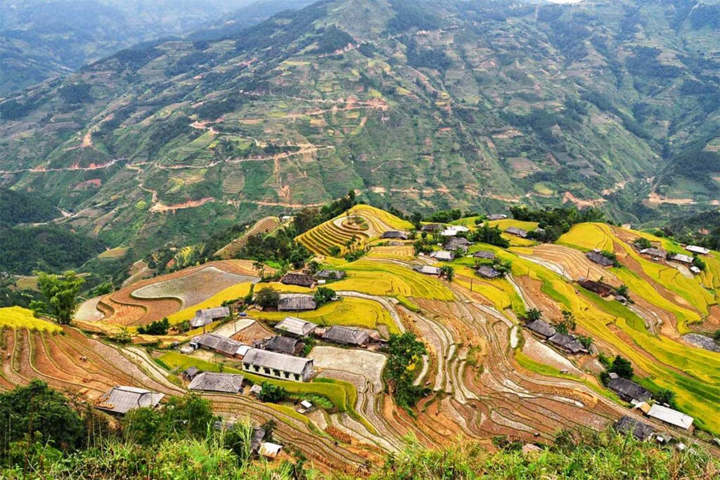
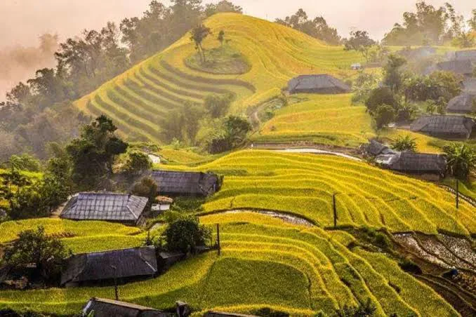
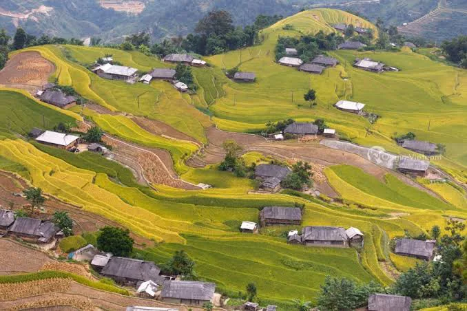
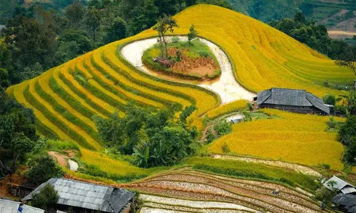
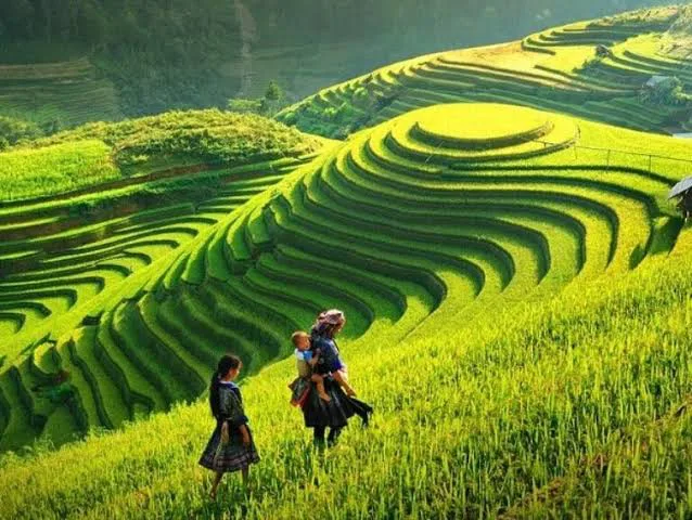
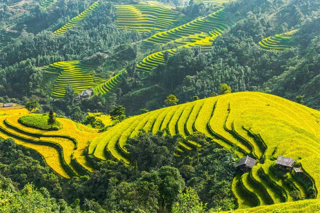
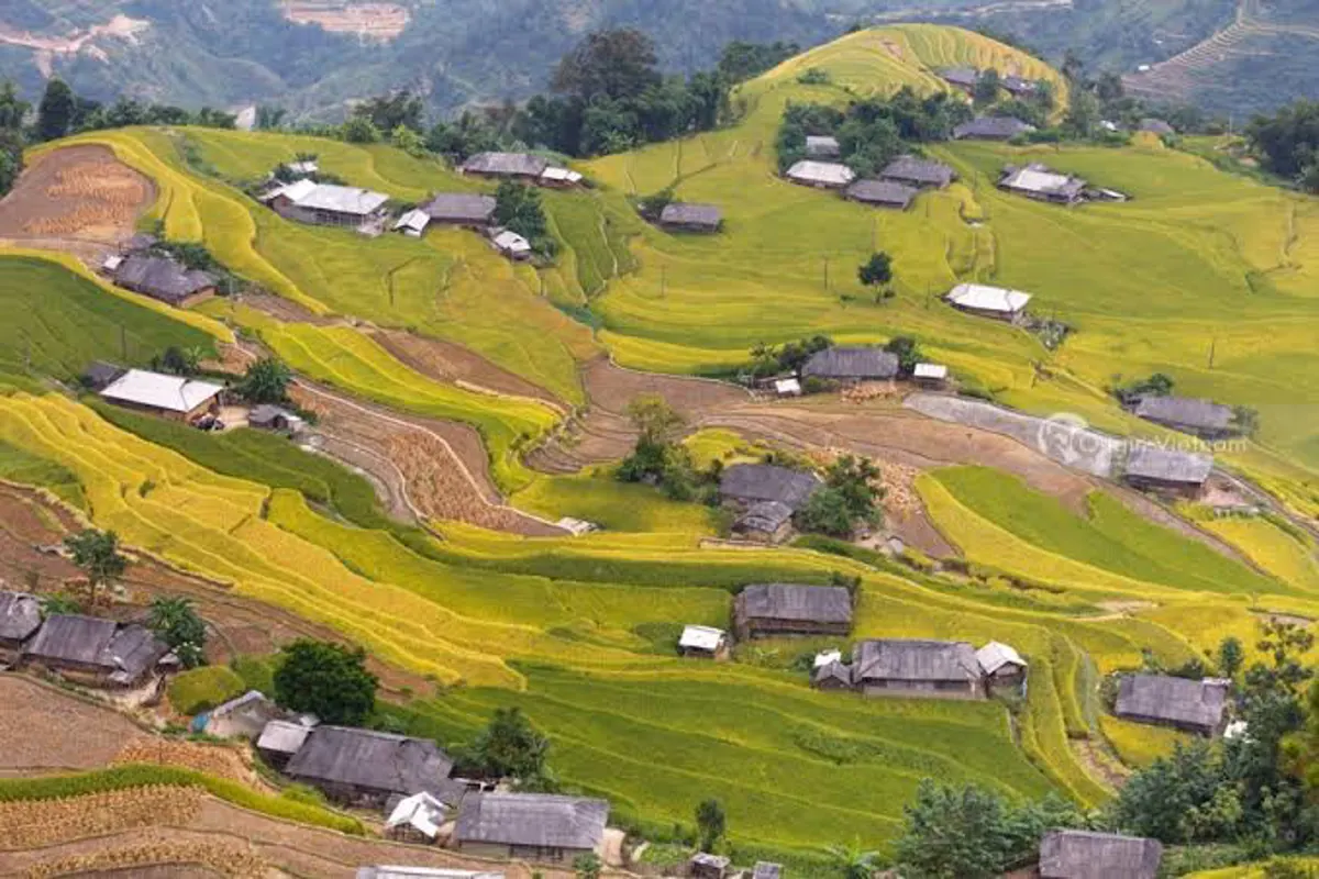
The Hoang Su Phi Terraced Rice Fields, located at the base of Tay Con Linh Mountain in western Ha Giang, are a testament to centuries of agricultural practice. These fields, though recognized later than those in Mu Cang Chai or Sa Pa, possess their own distinct character. Created by the skilled hands of the La Chi, Nung, and Dao ethnic groups over approximately 300 years, the terraced fields ascend mountain slopes in intricate layers. The optimal times to visit Hoang Su Phi are around March, during the planting season when the fields are a lush green, or in late September and October, when the rice ripens to a golden hue, coinciding with the busy harvest period.
Phin Ho Village is particularly known for its tea production and ancient tea trees, some reportedly over 400 years old. This village is home to 44 households, comprising more than 200 Dao people. Visitors in January might have the opportunity to observe the annual Fire Dancing festival, a significant part of the local culture. The Phin Ho Tea Processing Cooperative, situated 7 kilometers from the village, specializes in producing 'Che San Tuyet Co Thu' (Ancient Snow Shan Tea). The raw materials for this specialty tea are sourced exclusively from fresh, old Snow Shan tea trees, some over 200 years old, growing at altitudes exceeding 1,300 meters above sea level in the high mountains of Phin Ho village.
Planning Your Visit to Ha Giang
Preparing for a trip to Ha Giang involves considering the region's unique characteristics and logistical aspects. The province's remote location means that travel can be more challenging but also offers a more untouched experience of northern Vietnam. While specific venue addresses and contact numbers are not universally available, understanding the general locations and operating times of markets and attractions is key.
For those interested in exploring the region's challenging yet rewarding mountain passes and diverse cultural sites, planning ahead is advisable. The best time to visit often depends on what you wish to experience, whether it's the green terraced fields of spring or the golden harvests of autumn. Accommodation options range from guesthouses in towns to homestays in ethnic villages, providing opportunities for cultural exchange.
Key Attractions Summary
| Attraction | Primary Feature | General Location/District | Typical Operating Info |
|---|---|---|---|
| Happiness Road | Scenic mountain road | Ha Giang City to Dong Van to Meo Vac | Always accessible |
| Quyet Tien Market | Local highland market | Quan Ba District | Saturday mornings |
| Quan Ba Heaven Gate | Mountain pass viewpoint | Quan Ba District | Always accessible |
| Twin Mountains | Unique natural formation | Quan Ba District (along NH4C) | Always accessible |
| Dong Van Karst Geopark | UNESCO geological site | Quan Ba, Yen Minh, Dong Van, Meo Vac | Always accessible |
| Sung La Valley | Scenic valley, ethnic village | Dong Van District | Always accessible |
| Vuong Family Mansion | Historical H'Mong residence | Sa Phin village | Specific hours not provided; verify locally |
| Lung Cu Flag Tower | Northernmost symbolic point | Lung Cu Commune, Dong Van District | Always accessible |
| Dong Van Old Quarter | Historic town, architecture | Dong Van Town | 'Night in Old Quarter' 14th-16th lunar month |
| Dong Van Market | Ethnic market | Dong Van Old Quarter | Sunday mornings (5:00 am - 10:00 am) |
| Ma Pi Leng Pass | One of Vietnam's 'Four Great Passes' | Between Dong Van and Meo Vac | Always accessible |
| Khau Vai Love Market | Annual cultural event | Khau Vai village, Meo Vac District | 26th-27th of 3rd lunar month (annual) |
| Hoang Su Phi Terraced Fields | Agricultural landscapes | Hoang Su Phi District | Best in March (green) or Sept-Oct (golden) |
| Phin Ho Village | Tea production, Dao culture | Hoang Su Phi District | Fire Dancing festival in January; verify locally |
Frequently Asked Questions
What is the best time to visit Ha Giang?
The ideal time to visit Ha Giang largely depends on the desired experience. For viewing the terraced rice fields in their greenest state, March is recommended. To witness the golden harvest hues, late September and October are preferable. Winter months (November-February) bring colder temperatures and buckwheat flower blooms, while spring offers a variety of other blossoming flowers.
How long should I plan for a trip to Ha Giang?
To adequately explore the main attractions and experience the Ha Giang loop, most visitors allocate between three to five days. This duration allows for travel between key points like Dong Van and Meo Vac, with time for stops at markets, viewpoints, and cultural sites without feeling rushed.
What ethnic groups reside in Ha Giang?
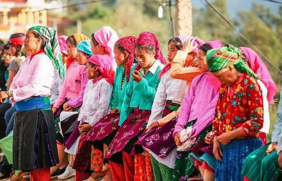
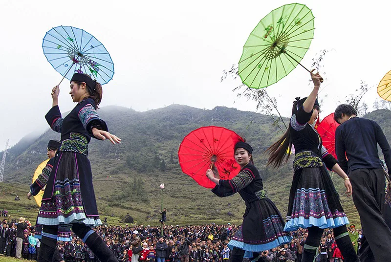
Ha Giang is home to a significant number of ethnic minority groups, including the H'Mong, Tay, Dao, Lo Lo, Nung, and Giay, among others. These communities contribute to the rich cultural diversity of the province, each maintaining distinct traditions, languages, and costumes.
Is Ha Giang suitable for all travelers?
Ha Giang is particularly appealing to nature enthusiasts and those seeking adventure, given its challenging terrain and remote character. While the region offers profound cultural insights, the infrastructure can be less developed than in other parts of Vietnam, making it more suitable for travelers comfortable with less conventional travel conditions.
What special foods can I try in Ha Giang?
Visitors to Ha Giang can sample unique local specialties, particularly at regional markets. Some notable dishes and products include thang co (a traditional stew), five-color sticky rice, and corn wine. Soybeans are also a common local product. These offerings provide a taste of the authentic highland cuisine.