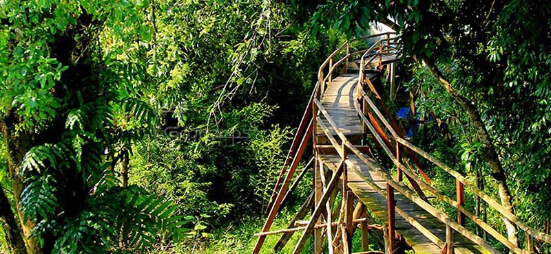


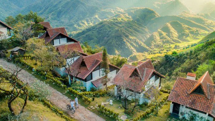
Vietnam offers diverse landscapes for those seeking walking and hiking experiences, from northern mountain ranges to central forests and southern national parks. Travelers can explore remote communities, verdant rice paddies, dense woodlands, and cascading waterfalls. This guide outlines some of the country's most notable destinations for outdoor exploration, catering to various fitness levels and interests.
Northern Vietnam's Premier Trekking Routes
The northern regions of Vietnam present some of the country's most iconic and challenging hiking opportunities, characterized by dramatic topography and rich cultural encounters. These areas are home to numerous ethnic minority groups, whose traditional ways of life add a unique dimension to any outdoor excursion.
Sapa (Lao Cai)
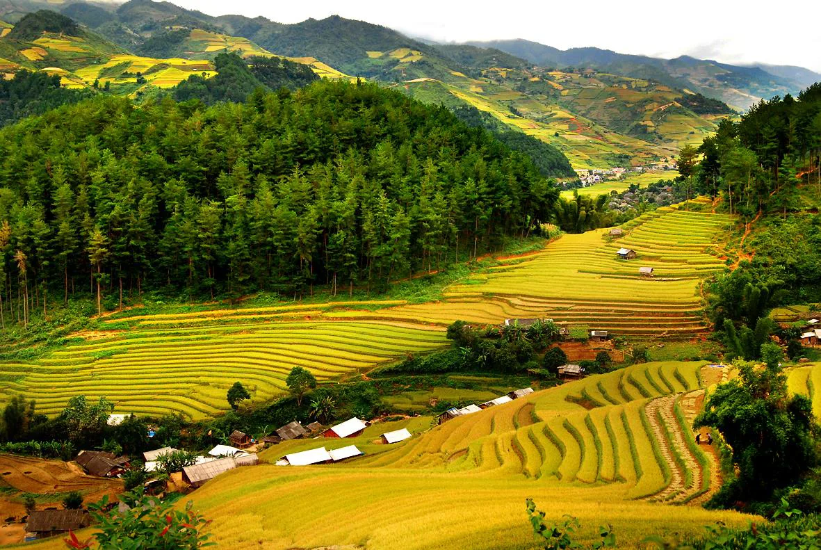
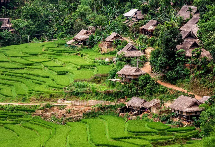
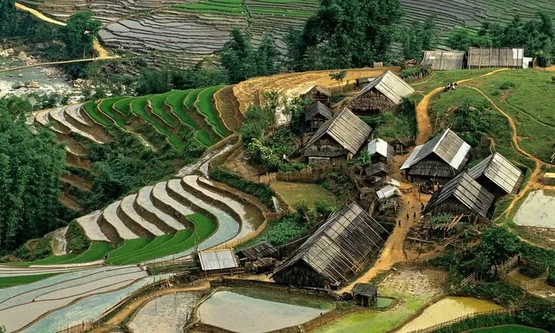
Sapa, situated in Lao Cai province, stands as a prominent destination for visitors to northern Vietnam, alongside locations like Halong Bay. Positioned at an elevation of 1,500 meters and approximately 315 kilometers from Hanoi, this mountain town provides expansive views of terraced rice fields set against a backdrop of majestic peaks. The area is particularly recognized for its diverse ethnic communities, including the Black H’mong, Red Zao, Zay, Tay, and Xa Pho, offering a blend of cultural insight and natural beauty.
Many visitors to Sapa choose to enhance their travels by undertaking treks through the region's agricultural terraces and tropical forests. A typical trek in Sapa spans two days, with options available for longer expeditions of three or four days. Staying overnight in a local homestay is a frequently recommended activity, allowing for cultural exchange and a deeper understanding of local customs. Sapa is widely considered a prime location for adventure tourism focused on walking tours.
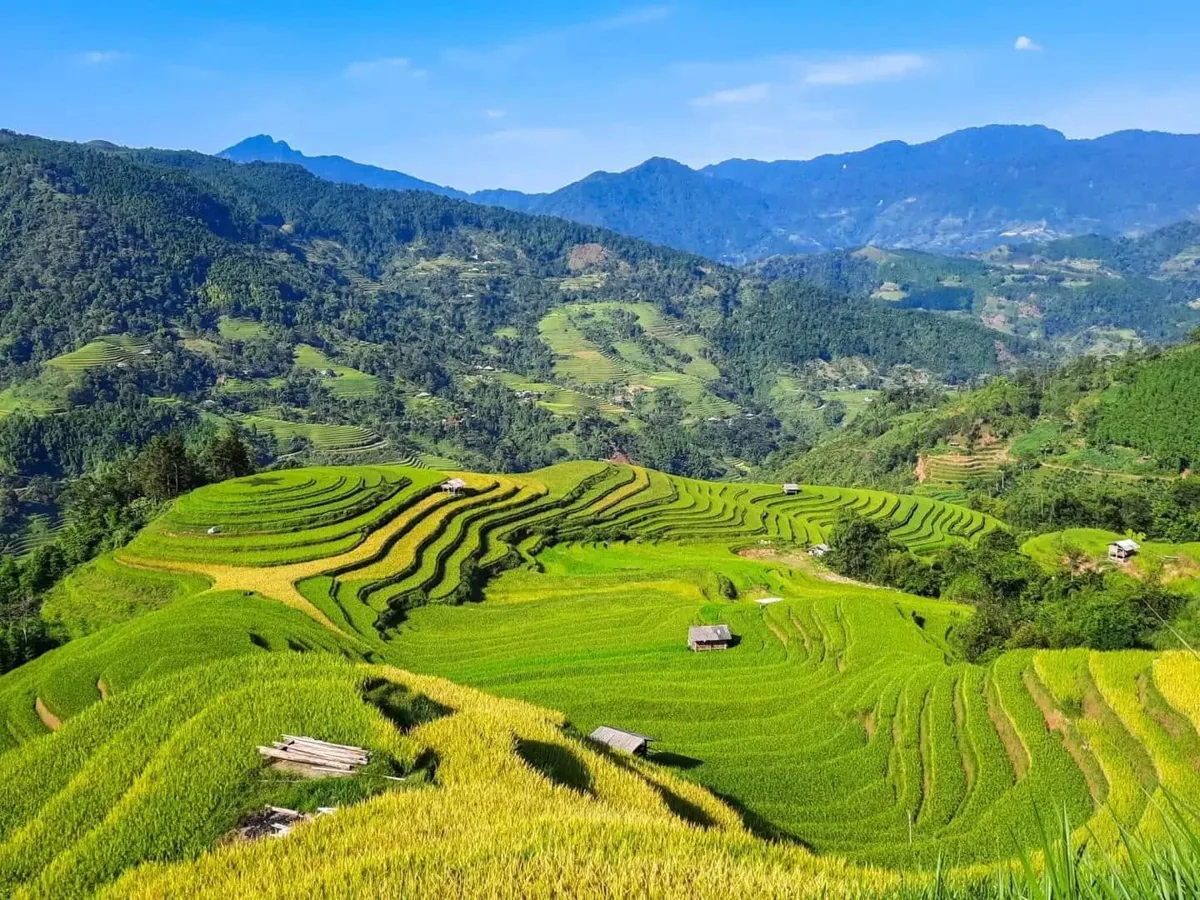
The climate in Sapa permits only a single annual rice crop, meaning the terraces display their most vivid green hues from May to early September, which also coincides with the rainier period. Despite seasonal variations, the region offers sights throughout the year. Popular routes in Sapa include shorter walks like Cat Cat – Sin Chai (3-5 km) and more extensive paths such as Lao Chai & Ta Van Village (6-8 km) or Y Linh Ho – Lao Chai & Ta Van Village (12-15 km). Other notable trails include Sa Seng & Hau Thao Village (12-15 km), Ta Giang Phinh Village, and Thanh Kim Village. For those seeking a significant challenge, ascending Fansipan Summit, often referred to as the "Roof of Indochina," typically requires two or three days. For an alternative way to experience the summit, consider Mount Fansipan's cable car system.
Mai Chau (Hoa Binh)
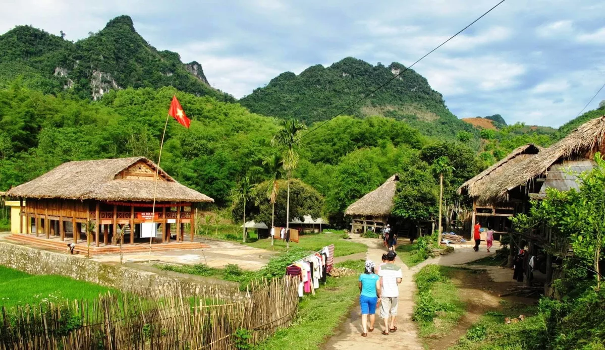
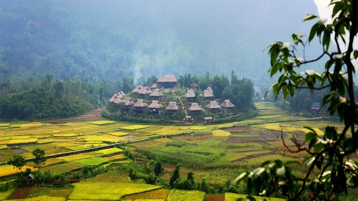
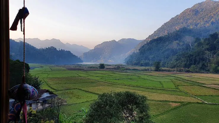
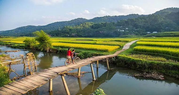
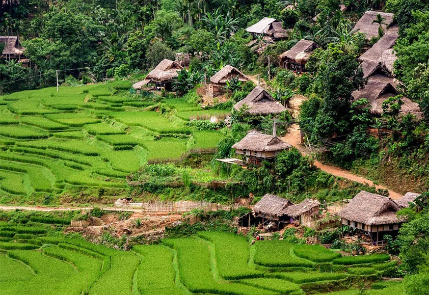
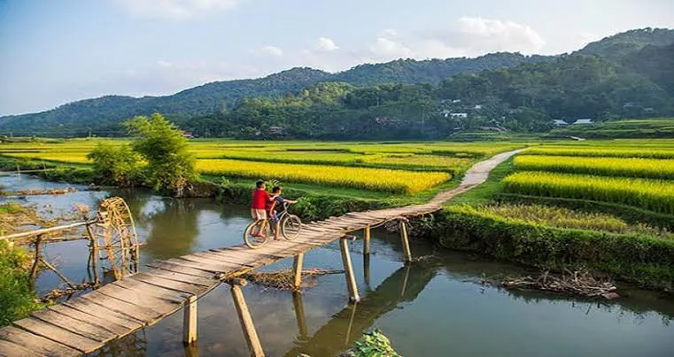
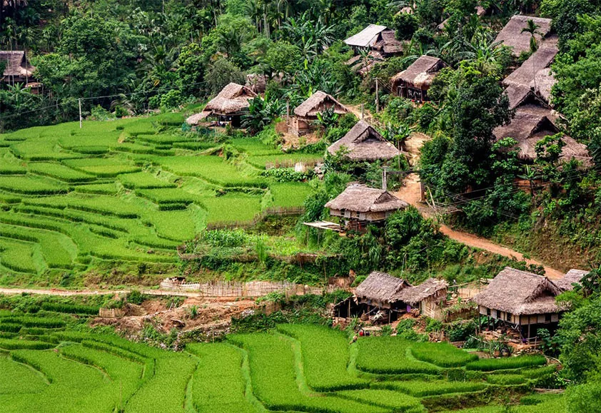
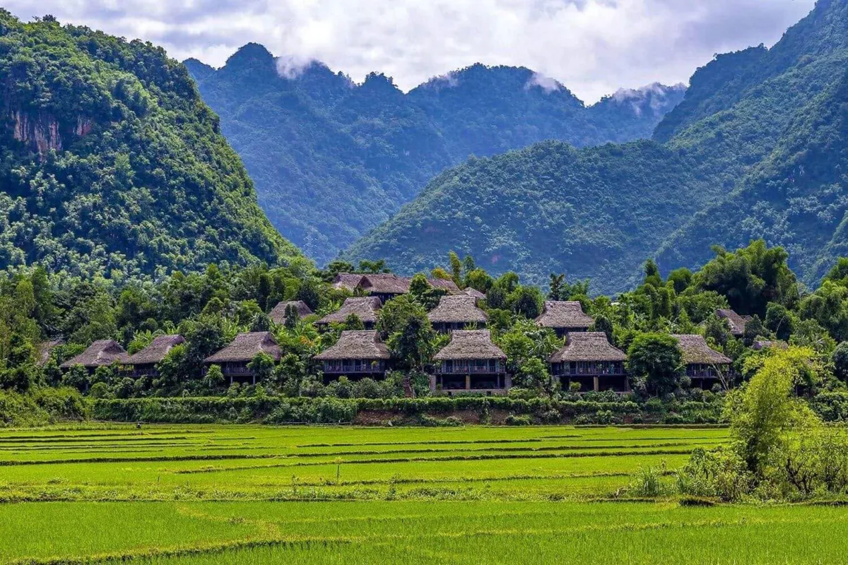
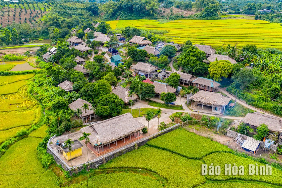
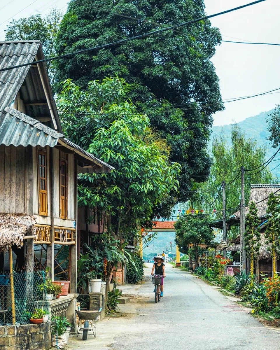
Mai Chau, a mountainous district within Hoa Binh Province, offers a tranquil environment with scenic vistas. This area is known for its commitment to eco-tourism and serves as home to several distinct ethnic minority groups. It provides some of Vietnam's excellent trekking paths, where visitors can wander through rice fields and local settlements such as Cun Pheo, Ban Buoc, and Hang Kia.
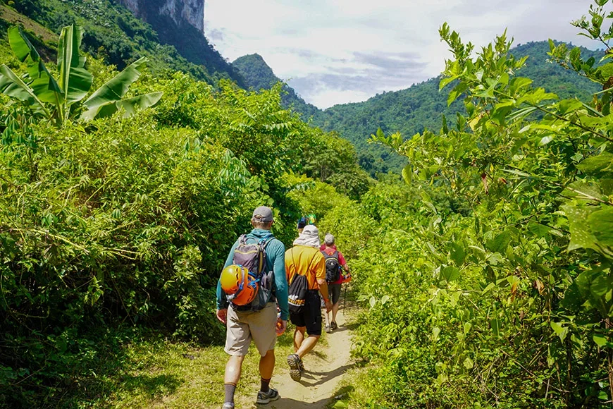
The most favorable period for trekking in Mai Chau is between early October and early May. Outside of these months, particularly from June through August, the temperatures can become uncomfortably high. Treks here range from gentle explorations, allowing participants to observe the daily routines of the Thai and Muong people in areas like Ban Buoc, Xam Khoe Market, Cun Pheo, Te Village, and along the Black River, to more demanding routes found within the Mai Chau Valley and around Hang Kia Village.
Ha Giang
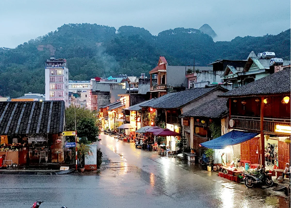
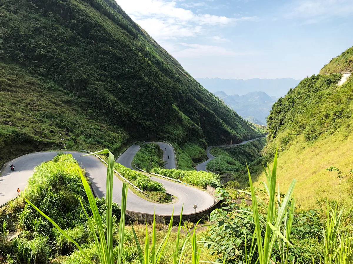
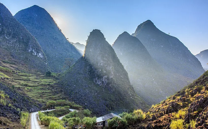
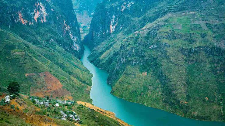
Ha Giang province, located in Vietnam's northernmost reaches, approximately 300 kilometers northwest of Hanoi and bordering China, is a destination for those seeking adventure. This remote province features impressive mountain ranges, undulating hills, dramatic karst formations, verdant valleys, and flowing rivers. Despite its reputation for some of Southeast Asia's most striking natural scenery, its distance from Hanoi sometimes leads travelers to overlook it.
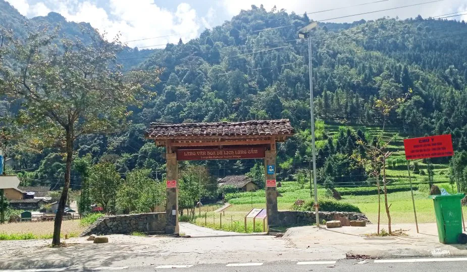
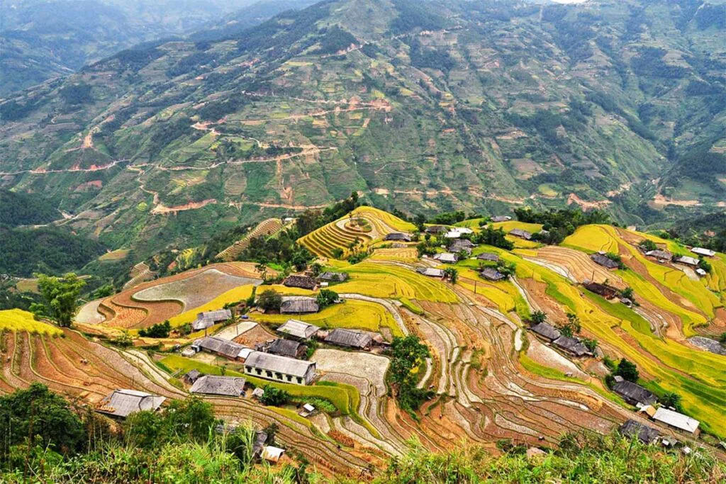
Trekking in Ha Giang typically occurs away from heavily touristed areas, allowing for extended periods of uninterrupted exploration through its mountains. Beyond the inspiring natural settings, the region provides access to authentic ethnic villages. Key attractions in Ha Giang include Quan Ba Twin Mountain, Dong Van Town, Lung Cu Flagpole, Meo Vac Valley, Ma Pi Leng Pass, and the rice terraces of Hoang Su Phi. The optimal time for trekking here is from October to May. Most treks in Ha Giang span two to five days, with trails commencing from small villages near the provincial capital. Examples include routes through Lung Vai – Khuoi My Village – Ban Tha – Nam Dam, Tam Son Town (Heaven’s gate), Dong Van Valley – Thien Huong Village, Ma Pi Leng Pass – Tu San Valley, and various paths within Hoang Su Phi (such as Ban Phung, Nam Hong, Khoa Thuong, Nam Ai, Nam Son, Lung Thang, Ho Thau – Chieu Lau Thi Peak, and Tay Con Linh Mountain).
Ba Be National Park (Bac Can)
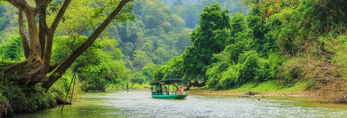
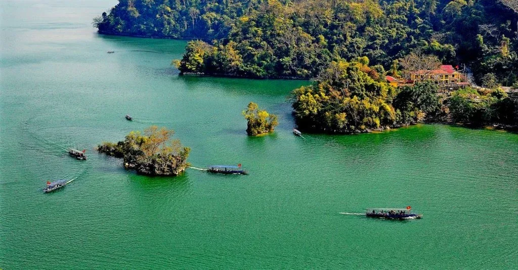
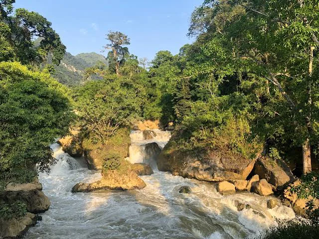
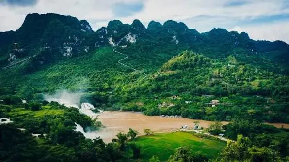
Ba Be National Park, situated about 240 kilometers from Hanoi in Bac Kan province, is a protected area characterized by rolling hills, towering limestone karsts, and a diverse array of over 550 plant species. The park maintains an authentic atmosphere, largely untouched by extensive tourism development. It showcases dense rainforests, calm lakes, dramatic limestone mountains, and caves set amidst high peaks. The region also supports several ethnic minority communities.
Multi-day treks through karst outcrops, waterfalls, caves, and rice fields are a popular choice for those with a moderate fitness level and an adventurous spirit. The recommended period for visiting Ba Be National Park for trekking is from April to October. Notable routes within the park include paths connecting Pac Ngoi Village – Mo, Qua, Chay Village; Coc Toc Village – Pe Lu Stream – Dau Dang Waterfall – Hua Ma Cave; and excursions along the Nang River – Puong Cave – Coc Toc Village.
Cat Ba Island (Hai Phong City)
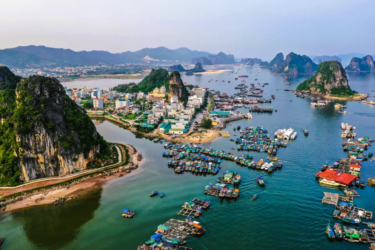
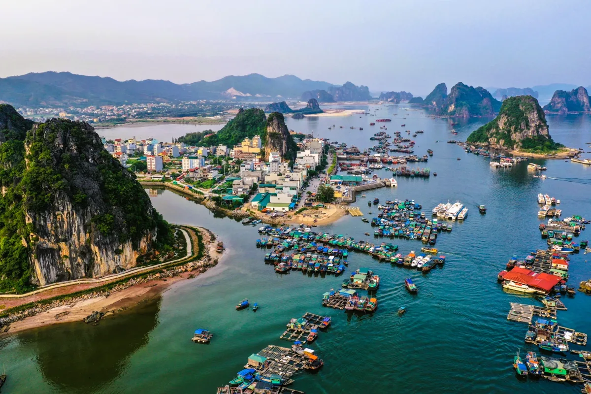
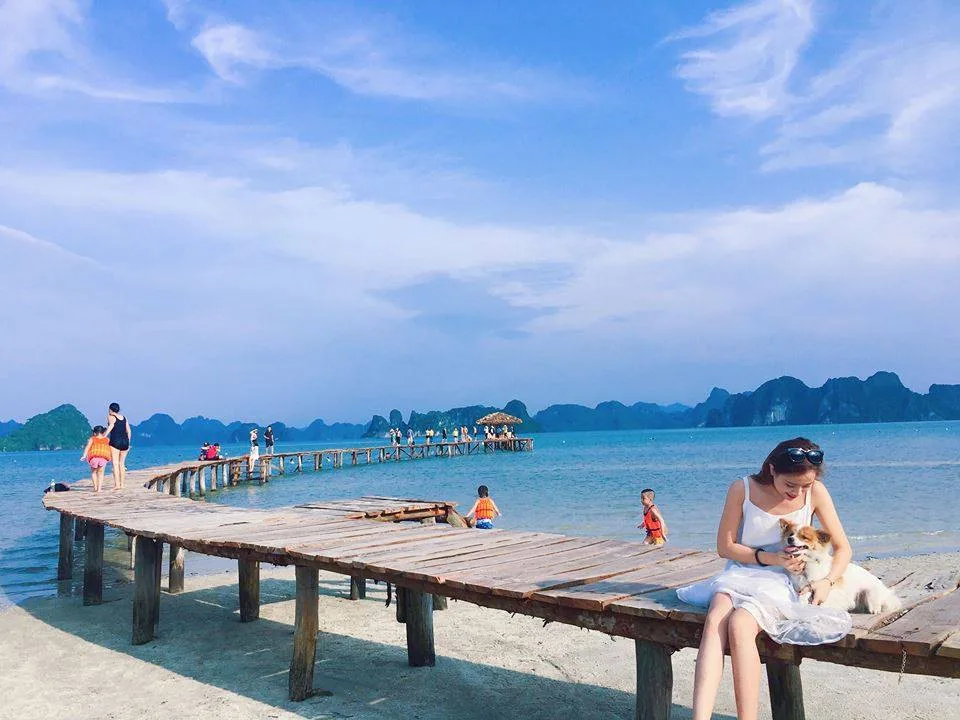
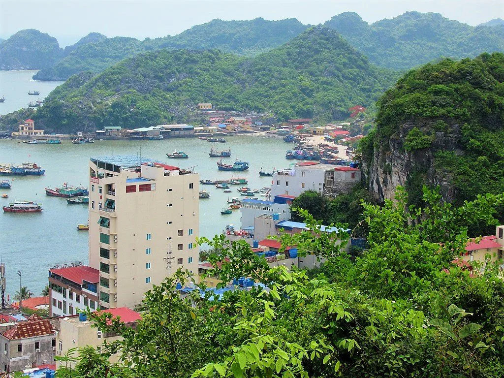
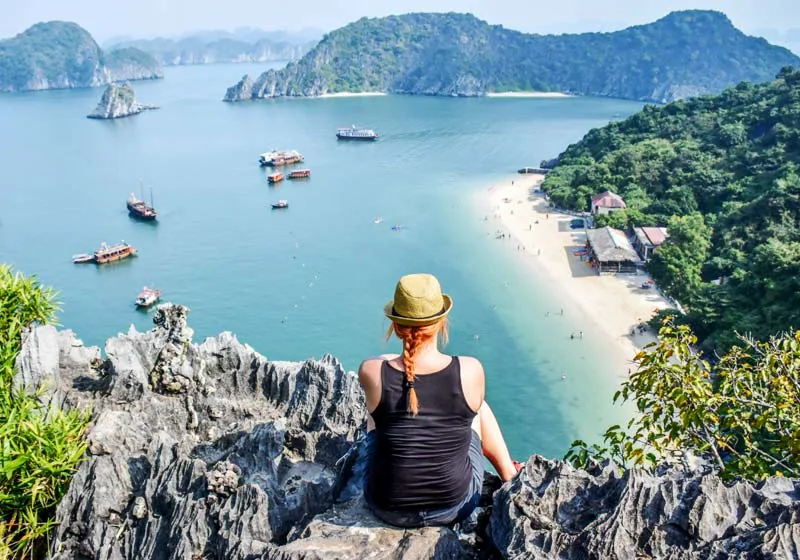
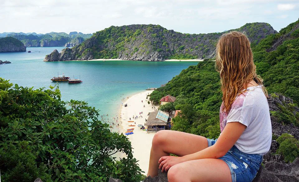
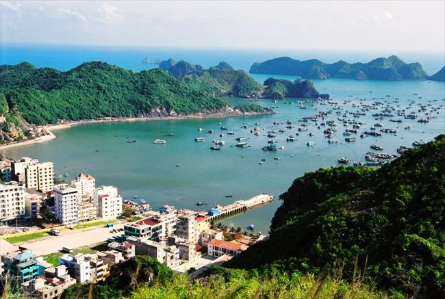
Cat Ba, the largest island within the UNESCO World Heritage-listed Halong Bay, is the only island in the area with a significant permanent settlement. Designated a World Biosphere Reserve by UNESCO in April 2005, Cat Ba is valued for its distinct natural beauty and ecological significance. The UNESCO designation highlights the presence of tropical humid forests, wetlands, mangroves, and coral reef ecosystems. Cat Ba National Park supports 32 mammal species, including a significant portion of the world's remaining golden-headed langurs, considered the most endangered primate globally.
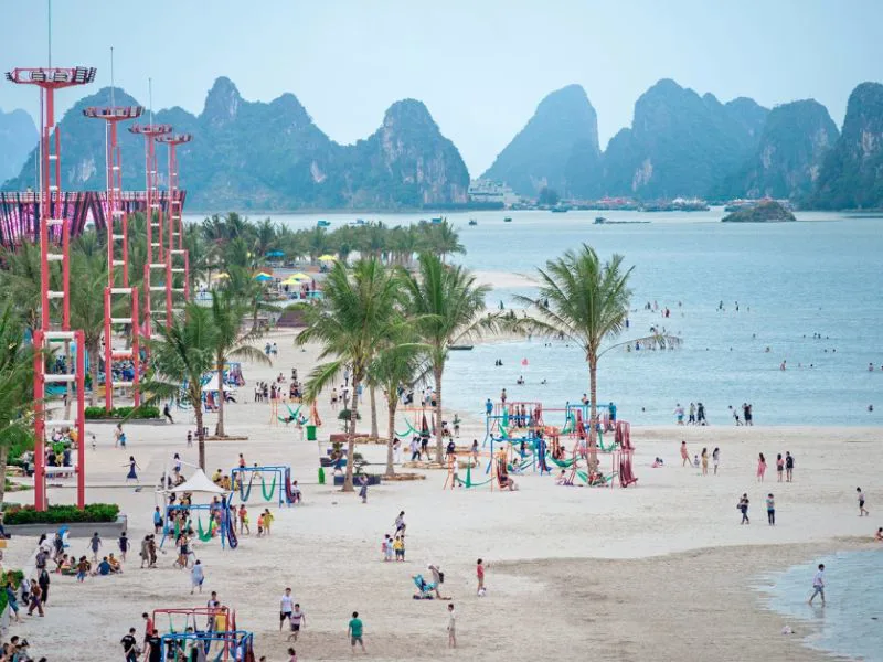
Beyond coastal relaxation and exploring Lan Ha Bay, Cat Ba provides opportunities for those with additional time to explore its interior and national park. The island is large enough to accommodate challenging trekking tours that can last five to six hours daily. Other activities available on Cat Ba Island include kayaking, rock climbing, and cycling. The best time for trekking here is from April to November. Popular treks include the short but demanding ascent to Ngu Lam Peak and the more extensive 9-kilometer trail through the park to Viet Hai Village. For more information on coastal activities, consider exploring Halong Bay's best beaches.
Central and Southern Vietnam Trekking Highlights
Moving south, Vietnam continues to offer varied landscapes for trekkers, from the unique ecosystems of nature reserves to the grandeur of the world's largest cave. These regions provide different challenges and natural wonders for outdoor enthusiasts.
Pu Luong Nature Reserve (Thanh Hoa)
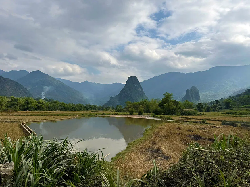
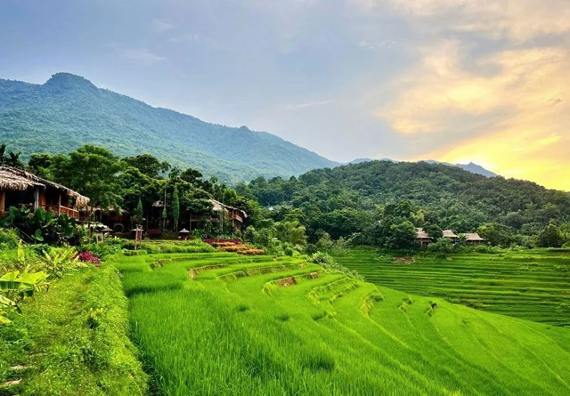
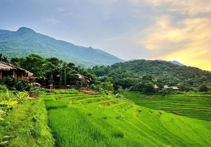
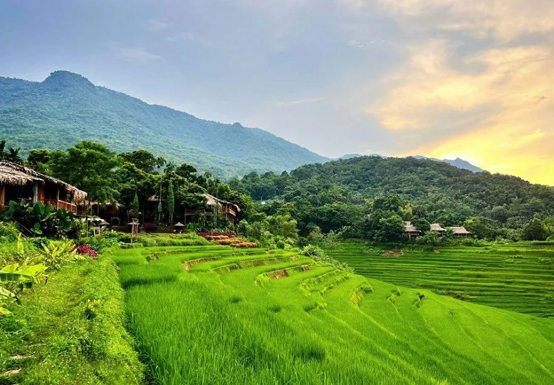
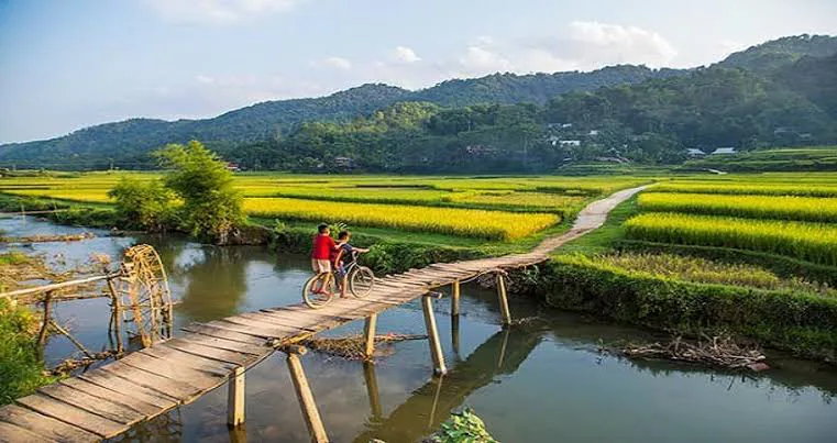
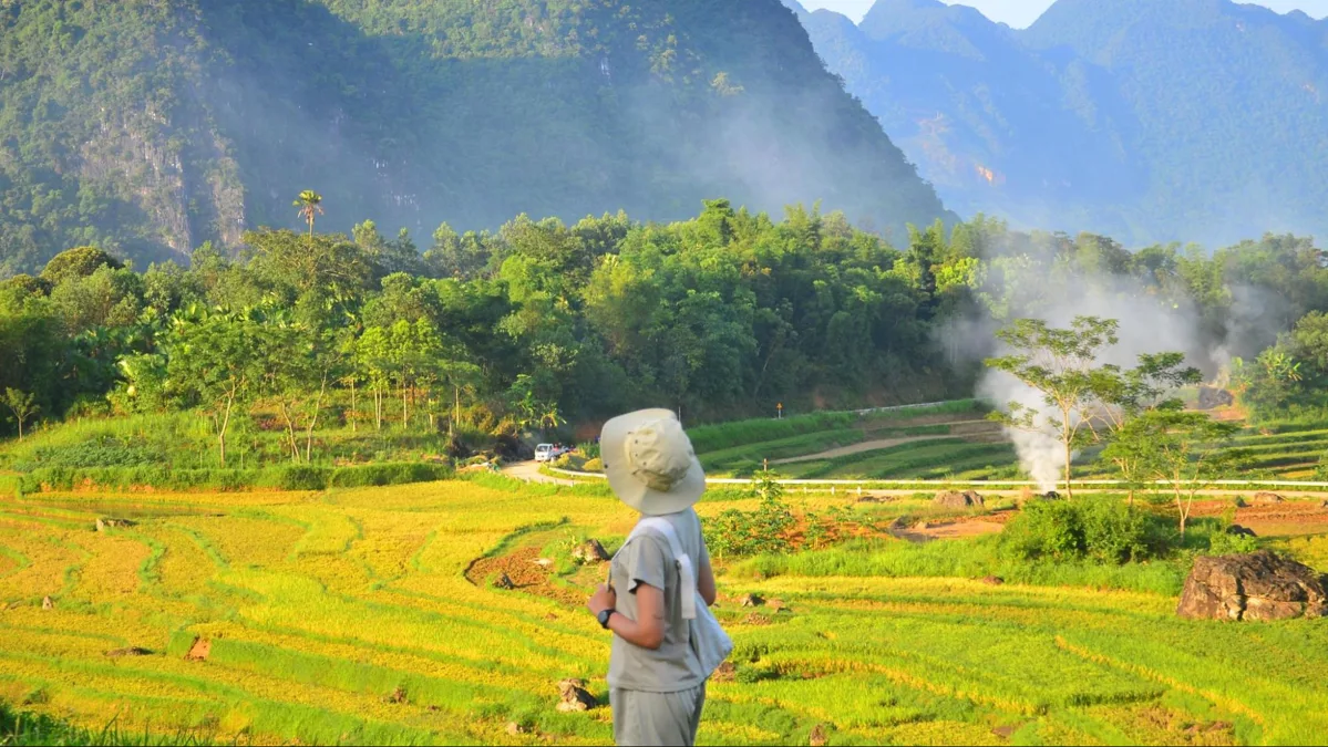
For travelers seeking a less frequented, rustic, and exceptionally scenic trekking destination, Pu Luong Nature Reserve is a compelling choice. Located approximately 160 kilometers southwest of Hanoi, Pu Luong spans parts of Hoa Binh and Thanh Hoa provinces. It has become a favored weekend escape for local residents and is seeing a growing number of international visitors. The reserve is characterized by dense forests, limestone formations, extensive rice terraces, and captivating scenery. It combines elements reminiscent of Sapa's terraces, Ha Giang's passes, and Mai Chau's green fields.
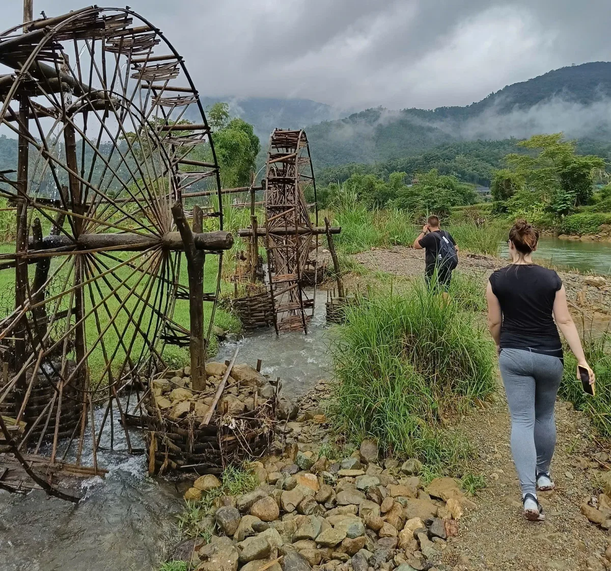
Covering an area of 17,662 hectares, Pu Luong boasts significant biodiversity in both plant and animal life. Visitors here also have the chance to observe the daily lives and cultural practices of the Thai and Muong ethnic groups. The most suitable times for trekking are during the rice harvest seasons, from September to October and from February to May. Trekking adventures in Pu Luong can lead through its dense jungles and authentic, remote villages such as Hang, Kho Muong, and Kia. More commonly explored routes include Hieu Village – Nua Village and Nua Village – Son Village.
Son Doong Cave (Quang Binh)
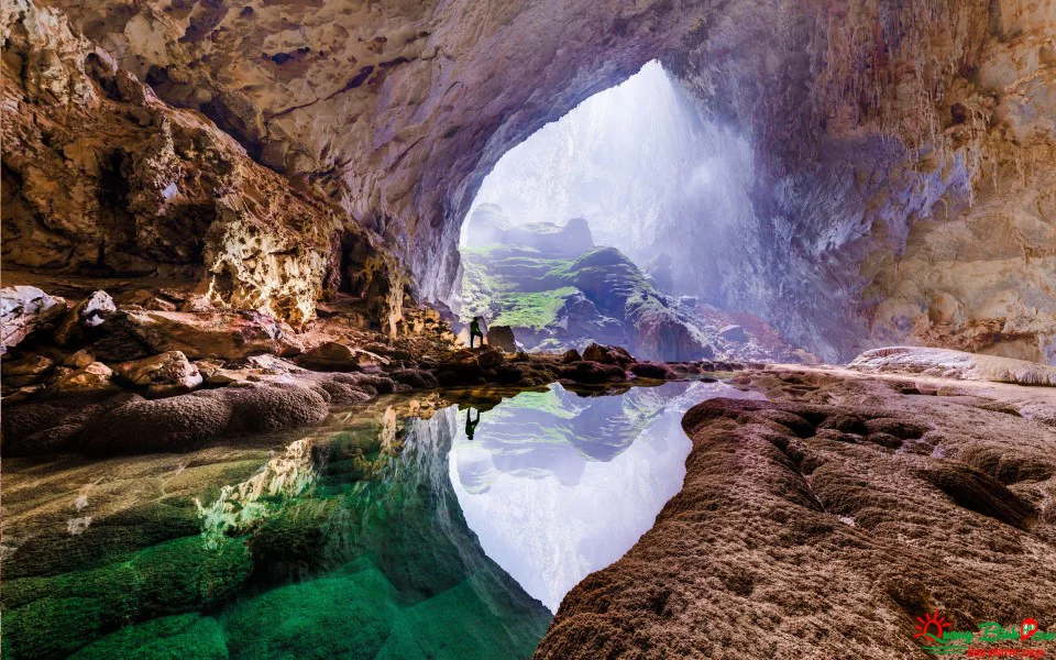
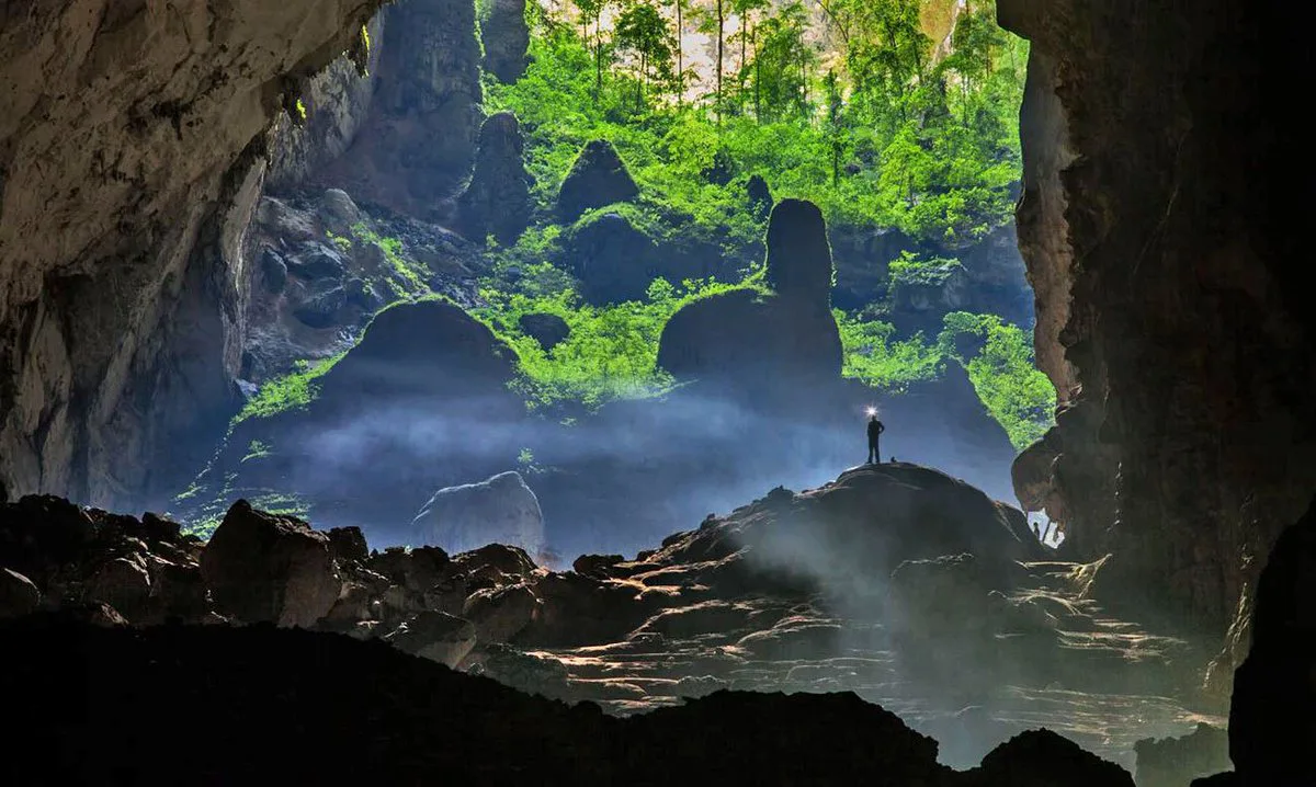
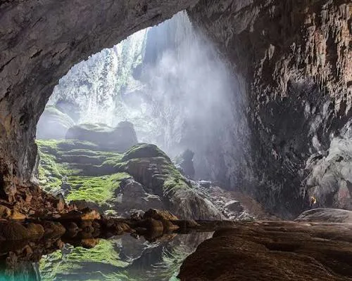
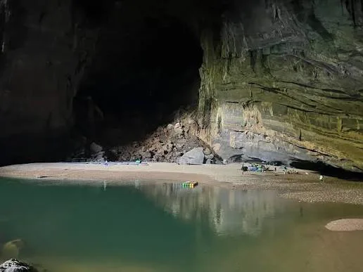
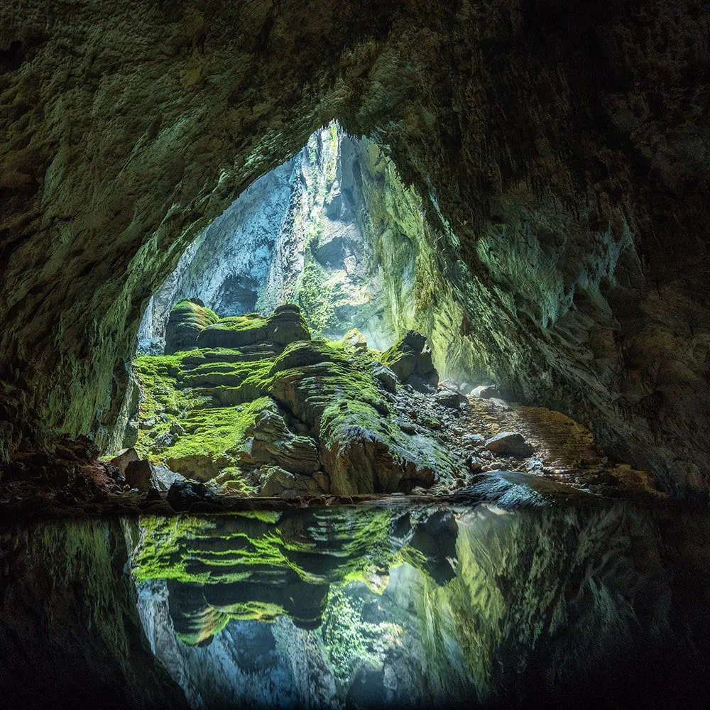
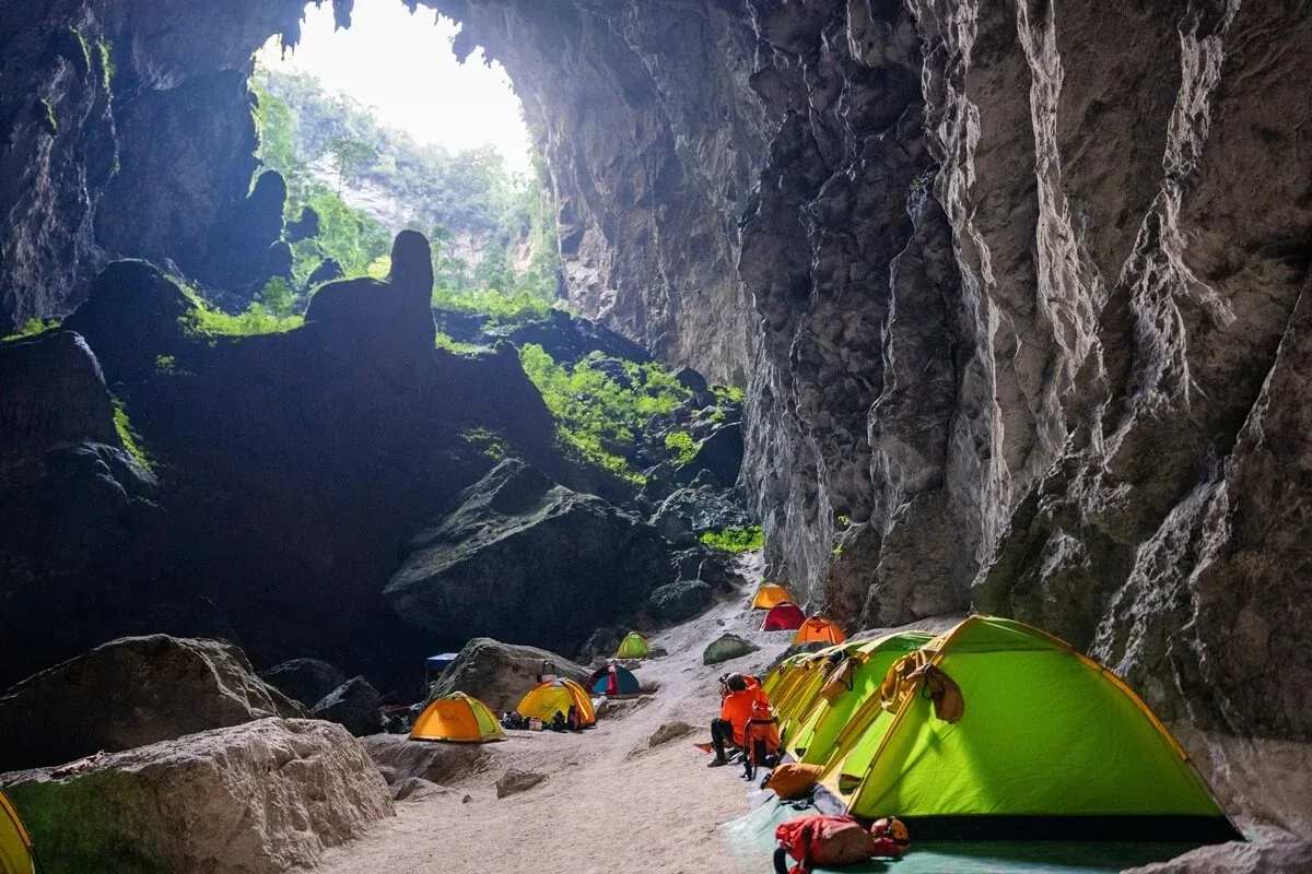
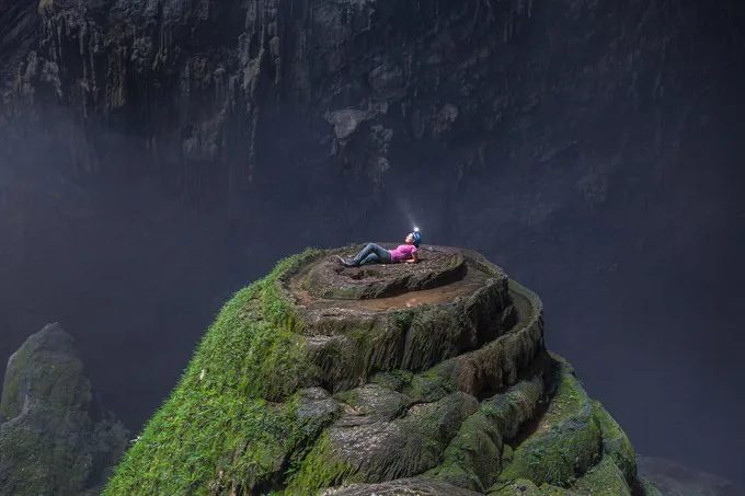
Son Doong Cave, located within Phong Nha Ke Bang National Park in Quang Binh Province, is recognized as the world's largest cave and a significant natural wonder, often compared to sites like the Great Barrier Reef or the Grand Canyon. It was extensively explored by the British Cave Research Association between 2009 and 2010 and opened to the public in 2013. Exploring Son Doong Cave is an extreme adventure, involving journeys through subterranean rivers, navigating two immense cave ceiling collapses, traversing underground rainforests, and camping in some of the world's most impressive natural settings. The cave's vast scale is such that a Boeing 747 aircraft could theoretically fly through its largest chamber.
Son Doong offers several distinct environments for exploration. Due to high demand and the extreme nature of the expedition, visitors typically face a long waiting list and must secure bookings well in advance, along with providing health clearance. This experience is reserved for highly adventurous individuals seeking a truly unique opportunity. The cave is accessible only from January to August each year, as annual flooding prevents entry during other months. Other nearby cave experiences include Tu Lan Cave and Hang Tien Cave.
Bach Ma National Park
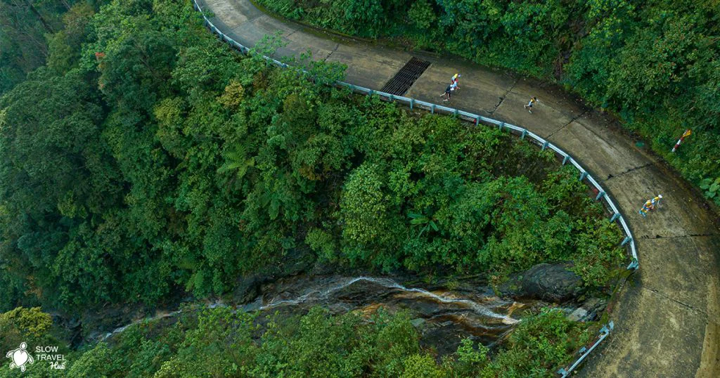
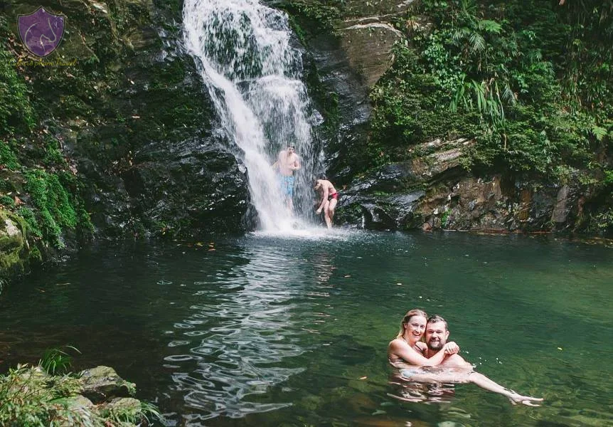
Bach Ma National Park is situated in a mountainous area that historically marked the boundary between North and South Vietnam, approximately 45 kilometers southeast of Hue City. It extends from the Laotian border eastward to the East Sea at the Hai Van Pass. The park features a blend of landscapes, including waterfalls, cool forests, and flowering rhododendrons, making it distinct from some other national parks. While popular with international travelers, it sees fewer local visitors, often attributed to the adventurous spirit of foreign guests.
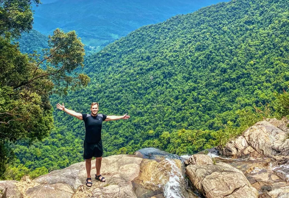
A typical adventure tour involves a drive to the park's peak, which reaches 1,450 meters above sea level, followed by a 7-kilometer trek through an area known for its five lakes. While not exceptionally difficult, portions of the trek require ropes to navigate certain 10-meter cliffs. This excursion, usually lasting six to seven hours, offers a contrast to the generally calmer pace of travel in central Vietnam. The optimal time for trekking in Bach Ma National Park is from December to April.
Lang Biang Mountain (Da Lat)
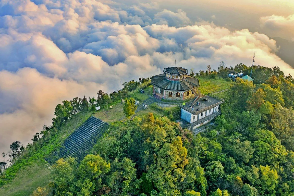
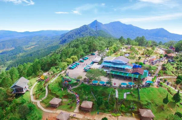
Lang Biang Mountain, located near Da Lat, comprises three distinct peaks. One peak is accessible via a paved road leading to a radar base, frequently used by tourists who opt for jeep transport. The actual Lang Biang peak, standing at 2,167 meters, is reached exclusively by hiking along dirt roads and trails. A third, unnamed peak is also part of the formation. The ascent to the summit of Lang Biang Mountain, offering expansive views, typically takes three to four hours from Lat Village. The trail commences directly north of Lat and is identifiable by a reddish path cutting through the green mountainside. This trek provides an opportunity for physical activity and photography amidst Da Lat's natural surroundings. The dry season, from November to May, is the most suitable period for trekking here.
Cat Tien National Park (Dong Nai)
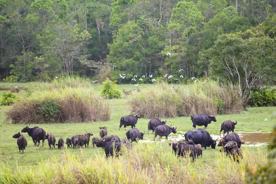
Cat Tien National Park spans three provinces—Dong Nai, Lam Dong, and Binh Phuoc—and is located approximately 150 kilometers northeast of Ho Chi Minh City. The park is home to a wide array of wildlife, including hundreds of species of mammals, reptiles, birds, and fish. Primates, such as gibbons and langurs, are particularly common, alongside Asian elephants, clouded leopards, and sun bears. However, the park's plant life is arguably its most impressive feature, with an estimated 1,610 botanical species.
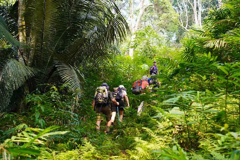
This 72,000-hectare park is considered one of Vietnam's significant natural assets, offering a genuine jungle environment. It provides some of the best trekking, biking, and birdwatching opportunities in the southern part of the country. The dry season, from December to May, offers pleasant weather ideal for trekking. Exploring the park during the rainy season can be challenging. Popular treks within Cat Tien National Park include the trail to Giant Tung Trees, the trek to Crocodile Lake, the Wild Gibbon Trek, and an excursion along the dormant volcano ridge of Green Hill.
Planning Your Trekking Adventure in Vietnam
Careful preparation is key to a rewarding and safe trekking experience in Vietnam. Considering various factors before your trip can help ensure a smooth journey through the country's diverse terrains.
What to Consider Before You Go
Before embarking on a trekking trip, evaluate your expectations regarding the landscapes and cultural experiences you wish to encounter, such as ethnic villages, rice terraces, mountain vistas, or national parks. It is important to understand the difficulty level and expected duration of your chosen routes. A basic health check-up is advisable to confirm physical and mental readiness for the demands of trekking. Selecting appropriate footwear, along with suitable walking socks, is crucial for comfort and preventing injuries. Finally, choosing a reputable adventure tour operator can significantly enhance the quality and safety of your journey.
Essential Gear and Supplies
Packing the right equipment is vital for any trekking excursion. Invest in durable clothing and a high-quality pair of hiking shoes. Always carry sufficient water and a comprehensive first-aid kit for minor injuries or emergencies. A well-organized backpack will help distribute weight and keep your belongings accessible. Given Vietnam's tropical climate, a raincoat or waterproof jacket and pants are essential for unexpected downpours. A flashlight or headlamp is necessary for early morning starts or late finishes, and GPS navigation devices or a physical map can help with route finding. Additionally, remember to pack a hat, sunscreen, and mosquito repellent to protect against the elements and insects. For other travel essentials, including unique purchases, explore Vietnam's local products and crafts.
Trekking Locations Overview Table
Here is a summary of the trekking locations in Vietnam, including their general difficulty and recommended seasons.
| Location | Trekking Level | Recommended Trekking Season (Verify Current Conditions) |
|---|---|---|
| Sapa (Lao Cai) | Easy – Medium – Hard | May to early September (for rice terraces); generally year-round |
| Mai Chau (Hoa Binh) | Easy – Medium | Early October to early May |
| Ha Giang | Easy | October to May |
| Ba Be National Park (Bac Can) | Easy – Medium | April to October |
| Cat Ba Island (Hai Phong City) | Easy | April to November |
| Pu Luong Nature Reserve (Thanh Hoa) | Moderate to Challenging | September to October; February to May (rice harvest seasons) |
| Son Doong Cave (Quang Binh) | Extreme | January to August (due to annual flooding) |
| Bach Ma National Park | Easy – Medium | December to April |
| Lang Biang Mountain (Da Lat) | Moderate – Challenging | November to May (dry season) |
| Cat Tien National Park (Dong Nai) | Easy | December to May (dry season) |
Frequently Asked Questions
What is the best time of year for trekking in Vietnam?
The ideal time for trekking in Vietnam varies by region. Northern areas like Sapa and Ha Giang often have favorable conditions from October to May, though Sapa's rice terraces are greenest from May to September. Central and southern parks like Bach Ma and Cat Tien are best visited during their respective dry seasons, typically from December to May. Always check specific regional weather patterns before planning.
Do I need a guide for trekking in Vietnam?
While some easier, well-marked trails can be explored independently, many of Vietnam's more remote or challenging trekking routes, especially those involving ethnic minority villages or national parks, are best undertaken with a local guide. Guides provide navigation, cultural insights, and can assist in emergencies, enhancing both safety and the overall experience. For extreme expeditions like Son Doong Cave, a guided tour is mandatory.
What level of fitness is required for trekking in Vietnam?
Trekking opportunities in Vietnam cater to a wide range of fitness levels. There are numerous easy walks suitable for beginners or families, such as some routes in Mai Chau or Cat Tien National Park. Moderate to challenging treks, found in places like Pu Luong or Lang Biang Mountain, require a good level of physical conditioning. Extreme expeditions, like Son Doong Cave, demand exceptional fitness and prior experience.
Are homestays available during treks in Vietnam?
Yes, homestays are a common and highly recommended aspect of trekking in many parts of Vietnam, particularly in northern regions like Sapa, Mai Chau, and Ha Giang. Staying with local families offers a unique opportunity to experience authentic culture, learn about traditional lifestyles, and contribute directly to the local economy. It's advisable to arrange homestays through a reputable tour operator or local contacts.